Area Overview for BS48 3HB
Photos of BS48 3HB
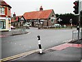
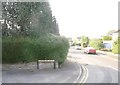
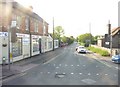
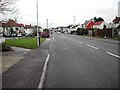
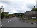
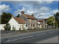
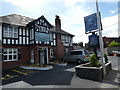
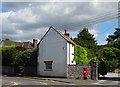
58 photos from this area
Area Information
Key information about the BS48 3HB including its size, population, and administrative classification.
- Area Type
- Postcode
- Area Size
- 9834 m²
- Population
- 1608
- Population Density
- 739 people/km²
House Prices in BS48 3HB
23
Properties
£329,622
Average Sold Price
£112,000
Lowest Price
£745,000
Highest Price
Showing 23 properties
| Address | Type | Beds | Baths | Last Sale Price | Last Sale Date | |
|---|---|---|---|---|---|---|
| 30 Rodney Road, Backwell, BS48 3HB | house | - | - | £745,000 | Dec 2022 | |
| 2 Rodney Road, Backwell, BS48 3HB | house | - | - | £525,000 | Sep 2022 | |
| 39 Rodney Road, Backwell, BS48 3HB | house | - | - | £355,000 | Jun 2021 | |
| 36 Rodney Road, Backwell, BS48 3HB | Semi-detached | 5 | 1 | £499,950 | Jun 2021 | |
| 1 Rodney Road, Backwell, BS48 3HB | house | - | - | £375,000 | Sep 2020 | |
| 10 Rodney Road, Backwell, BS48 3HB | Bungalow | 5 | 5 | £399,995 | Aug 2018 | |
| 11 Rodney Road, Backwell, BS48 3HB | Bungalow | 2 | - | £300,000 | Apr 2017 | |
| 9 Rodney Road, Backwell, BS48 3HB | Bungalow | 3 | - | £295,000 | Aug 2015 | |
| 34 Rodney Road, Backwell, BS48 3HB | house | - | - | £270,000 | Feb 2015 | |
| 5 Rodney Road, Backwell, BS48 3HB | Semi-detached | 4 | 1 | £255,000 | Aug 2013 |
Page 1 of 3
Energy Efficiency in BS48 3HB
Amenities
Schools
| Rank | School | Type | Entry gender | Ages |
|---|
Explore more schools in this area
Go to Schools tabDemographics
Household Size
Family (3-5 people)
most common
Accommodation Type
Houses
most common
Tenure
93
majority
Ethnic Group
White
most common
Religion
N/A
most common
Household Composition
N/A
most common
Age
47
median
Adults (30-64 years)
most common
Household Deprivation
N/A
with no deprivation
NS-SEC
53
in Lower managerial occupations
Explore more demographic insights in this area
Go to Demographics tabPlanning
Planning Constraints
- Flood RiskPremium
- Ramsar Wetland SitesPremium
- Area of Outstanding Natural BeautyPremium
- Protected Nature ReservePremium
- Protected WoodlandPremium