Area Overview for BS48 3EJ
Photos of BS48 3EJ
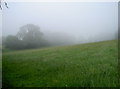
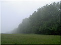
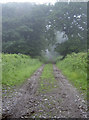
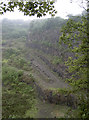
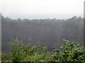
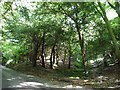
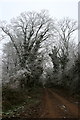
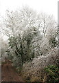
18 photos from this area
Area Information
Key information about the BS48 3EJ including its size, population, and administrative classification.
- Area Type
- Postcode
- Area Size
- 31.4 hectares
- Population
- 1584
- Population Density
- 132 people/km²
House Prices in BS48 3EJ
11
Properties
£466,071
Average Sold Price
£190,000
Lowest Price
£890,000
Highest Price
Showing 11 properties
| Address | Type | Beds | Baths | Last Sale Price | Last Sale Date | |
|---|---|---|---|---|---|---|
| Caerleon, Backwell Hill, Backwell, BS48 3EJ | Bungalow | - | - | £890,000 | Jan 2018 | |
| Heathercliffe, Backwell Hill, Backwell, BS48 3EJ | Bungalow | 6 | 3 | £512,500 | Sep 2014 | |
| Open Acres, Backwell Hill, Backwell, BS48 3EJ | Bungalow | 3 | - | £375,000 | Feb 2014 | |
| The Hawthorns, Backwell Hill, Backwell, BS48 3EJ | Land | - | - | £485,000 | Aug 2011 | |
| Woodlands, Backwell Hill, Backwell, BS48 3EJ | Detached | 5 | 3 | £500,000 | Dec 2005 | |
| Sea View, Backwell Hill, Backwell, BS48 3EJ | Semi-detached | - | - | £310,000 | Dec 2005 | |
| Moorlands, Backwell Hill, Backwell, BS48 3EJ | Bungalow | 5 | 3 | £190,000 | Jul 1998 | |
| The Dingle, Backwell Hill, Backwell, BS48 3EJ | Detached | - | - | - | - | |
| Fallowfield, Backwell Hill, Backwell, BS48 3EJ | Detached | - | - | - | - | |
| Pendennis, Backwell Hill, Backwell, BS48 3EJ | house | - | - | - | - |
Page 1 of 2
Energy Efficiency in BS48 3EJ
Amenities
Schools
| Rank | School | Type | Entry gender | Ages |
|---|
Explore more schools in this area
Go to Schools tabDemographics
Household Size
Two person
most common
Accommodation Type
Houses
most common
Tenure
82
majority
Ethnic Group
White
most common
Religion
N/A
most common
Household Composition
N/A
most common
Age
47
median
Adults (30-64 years)
most common
Household Deprivation
N/A
with no deprivation
NS-SEC
48
in Lower managerial occupations
Explore more demographic insights in this area
Go to Demographics tabPlanning
Planning Constraints
- Flood RiskPremium
- Ramsar Wetland SitesPremium
- Area of Outstanding Natural BeautyPremium
- Protected Nature ReservePremium
- Protected WoodlandPremium