Area Overview for BS48 2XH
Photos of BS48 2XH
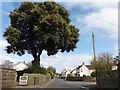
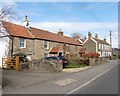

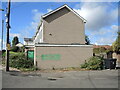
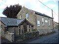
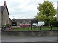
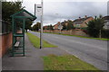
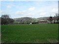
24 photos from this area
Area Information
Key information about the BS48 2XH including its size, population, and administrative classification.
- Area Type
- Postcode
- Area Size
- 1.4 hectares
- Population
- 1348
- Population Density
- 1641 people/km²
House Prices in BS48 2XH
33
Properties
£251,799
Average Sold Price
£16,082
Lowest Price
£565,000
Highest Price
Showing 33 properties
| Address | Type | Beds | Baths | Last Sale Price | Last Sale Date | |
|---|---|---|---|---|---|---|
| 4 Kingsmead, Nailsea, BS48 2XH | house | 4 | 2 | £510,000 | Mar 2025 | |
| The Old Barn, Kingsmead, Nailsea, BS48 2XH | house | - | - | £470,000 | Apr 2024 | |
| 7 Kingsmead, Nailsea, BS48 2XH | house | - | - | £394,950 | Sep 2023 | |
| 30 Kingsmead, Nailsea, BS48 2XH | Semi-detached | 3 | - | £381,000 | Feb 2023 | |
| 24 Kingsmead, Nailsea, BS48 2XH | house | - | - | £320,000 | Jun 2021 | |
| Old Kingshill Court, Kingsmead, Nailsea, BS48 2XH | Bungalow | - | - | £565,000 | Apr 2021 | |
| 12 Kingsmead, Nailsea, BS48 2XH | house | - | - | £475,000 | Mar 2021 | |
| 18 Kingsmead, Nailsea, BS48 2XH | house | 3 | - | £255,000 | Jan 2016 | |
| 28 Kingsmead, Nailsea, BS48 2XH | Semi-detached | - | - | £175,500 | Mar 2013 | |
| 25 Kingsmead, Nailsea, BS48 2XH | Semi-detached | - | - | £173,000 | Jul 2005 |
Page 1 of 4
Energy Efficiency in BS48 2XH
Amenities
Schools
| Rank | School | Type | Entry gender | Ages |
|---|
Explore more schools in this area
Go to Schools tabDemographics
Household Size
Two person
most common
Accommodation Type
Houses
most common
Tenure
91
majority
Ethnic Group
White
most common
Religion
N/A
most common
Household Composition
N/A
most common
Age
47
median
Adults (30-64 years)
most common
Household Deprivation
N/A
with no deprivation
NS-SEC
40
in Lower managerial occupations
Explore more demographic insights in this area
Go to Demographics tabPlanning
Planning Constraints
- Flood RiskPremium
- Ramsar Wetland SitesPremium
- Area of Outstanding Natural BeautyPremium
- Protected Nature ReservePremium
- Protected WoodlandPremium