Area Overview for BS48 2EA
Photos of BS48 2EA
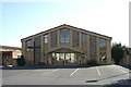

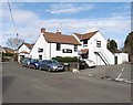
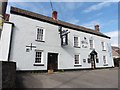
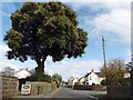
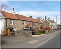

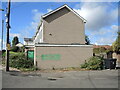
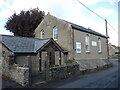
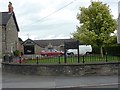
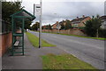
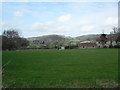
24 photos from this area
Area Information
Key information about the BS48 2EA including its size, population, and administrative classification.
- Area Type
- Postcode
- Area Size
- 1.4 hectares
- Population
- Not available
- Population Density
- Not available
House Prices in BS48 2EA
35
Properties
£248,082
Average Sold Price
£68,000
Lowest Price
£485,000
Highest Price
Showing 35 properties
| Address | Type | Beds | Baths | Last Sale Price | Last Sale Date | |
|---|---|---|---|---|---|---|
| 14 Orchard Road, Nailsea, BS48 2EA | house | - | - | £485,000 | Feb 2025 | |
| 48 Orchard Road, Nailsea, BS48 2EA | Semi-detached | 5 | 2 | £375,000 | Oct 2023 | |
| 25 Orchard Road, Nailsea, BS48 2EA | house | - | - | £345,000 | Aug 2022 | |
| 36 Orchard Road, Nailsea, BS48 2EA | house | - | - | £360,000 | Jun 2021 | |
| 31 Orchard Road, Nailsea, BS48 2EA | house | - | - | £261,800 | Feb 2021 | |
| 41 Orchard Road, Nailsea, BS48 2EA | house | - | - | £292,000 | Jan 2021 | |
| 37 Orchard Road, Nailsea, BS48 2EA | Semi-detached | - | - | £200,000 | Aug 2018 | |
| 18 Orchard Road, Nailsea, BS48 2EA | house | - | - | £270,000 | Dec 2017 | |
| 35 Orchard Road, Nailsea, BS48 2EA | house | 3 | - | £227,500 | Jan 2016 | |
| 45 Orchard Road, Nailsea, BS48 2EA | Semi-detached | 3 | - | £245,000 | Nov 2015 |
Page 1 of 4
Energy Efficiency in BS48 2EA
Amenities
Schools
| Rank | School | Type | Entry gender | Ages |
|---|
Explore more schools in this area
Go to Schools tabDemographics
Household Size
One person
most common
Accommodation Type
Houses
most common
Tenure
71
majority
Ethnic Group
White
most common
Religion
N/A
most common
Household Composition
N/A
most common
Age
47
median
Adults (30-64 years)
most common
Household Deprivation
N/A
with no deprivation
NS-SEC
34
in Lower managerial occupations
Explore more demographic insights in this area
Go to Demographics tabPlanning
Planning Constraints
- Flood RiskPremium
- Ramsar Wetland SitesPremium
- Area of Outstanding Natural BeautyPremium
- Protected Nature ReservePremium
- Protected WoodlandPremium