Area Overview for BS48 1UP
Photos of BS48 1UP
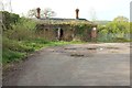
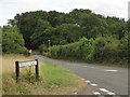
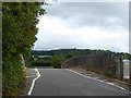
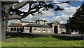
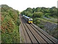
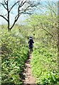
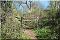
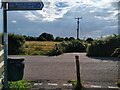
67 photos from this area
Area Information
Key information about the BS48 1UP including its size, population, and administrative classification.
- Area Type
- Postcode
- Area Size
- 8700 m²
- Population
- 1484
- Population Density
- 116 people/km²
House Prices in BS48 1UP
18
Properties
£312,356
Average Sold Price
£127,500
Lowest Price
£870,000
Highest Price
Showing 18 properties
| Address | Type | Beds | Baths | Last Sale Price | Last Sale Date | |
|---|---|---|---|---|---|---|
| 33 Rosemount Road, Flax Bourton, BS48 1UP | house | 5 | 3 | £870,000 | Aug 2023 | |
| 5 Rosemount Road, Flax Bourton, BS48 1UP | house | 3 | 2 | £380,000 | Jul 2018 | |
| 9 Rosemount Road, Flax Bourton, BS48 1UP | Detached | 4 | - | £260,000 | Oct 2009 | |
| 27 Rosemount Road, Flax Bourton, BS48 1UP | Detached | - | - | £445,000 | Jul 2009 | |
| 11 Rosemount Road, Flax Bourton, BS48 1UP | house | 4 | 2 | £285,000 | Feb 2008 | |
| 37 Rosemount Road, Flax Bourton, BS48 1UP | Detached | - | - | £490,000 | Jul 2007 | |
| 35 Rosemount Road, Flax Bourton, BS48 1UP | Detached | - | - | £397,500 | Feb 2005 | |
| 25 Rosemount Road, Flax Bourton, BS48 1UP | Detached | - | - | £435,000 | Jun 2003 | |
| 17 Rosemount Road, Flax Bourton, BS48 1UP | house | - | - | £220,000 | May 2002 | |
| 29 Rosemount Road, Flax Bourton, BS48 1UP | Detached | - | - | £293,500 | Mar 2000 |
Page 1 of 2
Energy Efficiency in BS48 1UP
Amenities
Schools
| Rank | School | Type | Entry gender | Ages |
|---|
Explore more schools in this area
Go to Schools tabDemographics
Household Size
Family (3-5 people)
most common
Accommodation Type
Houses
most common
Tenure
85
majority
Ethnic Group
White
most common
Religion
N/A
most common
Household Composition
N/A
most common
Age
47
median
Adults (30-64 years)
most common
Household Deprivation
N/A
with no deprivation
NS-SEC
52
in Lower managerial occupations
Explore more demographic insights in this area
Go to Demographics tabPlanning
Planning Constraints
- Flood RiskPremium
- Ramsar Wetland SitesPremium
- Area of Outstanding Natural BeautyPremium
- Protected Nature ReservePremium
- Protected WoodlandPremium