Area Overview for BS41 8LH
Photos of BS41 8LH
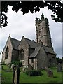
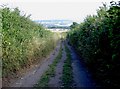
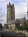
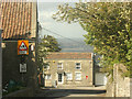
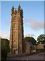
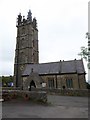
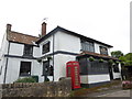
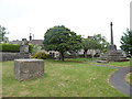
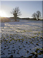
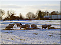
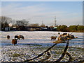
100 photos from this area
Area Information
Key information about the BS41 8LH including its size, population, and administrative classification.
- Area Type
- Postcode
- Area Size
- 3.1 hectares
- Population
- 1812
- Population Density
- 130 people/km²
House Prices in BS41 8LH
15
Properties
£449,857
Average Sold Price
£266,500
Lowest Price
£705,000
Highest Price
Showing 15 properties
| Address | Type | Beds | Baths | Last Sale Price | Last Sale Date | |
|---|---|---|---|---|---|---|
| Squares, Church Road, Dundry, BS41 8LH | Bungalow | 3 | 2 | £705,000 | May 2022 | |
| The Coach House, Church Road, Dundry, BS41 8LH | Detached | 4 | - | £600,000 | Mar 2017 | |
| Greenmead, Church Road, Dundry, BS41 8LH | Bungalow | - | - | £385,000 | May 2014 | |
| Rose Croft, Church Road, Dundry, BS41 8LH | Detached | 4 | 2 | £307,500 | Jun 2012 | |
| Briar House, Church Road, Dundry, BS41 8LH | house | - | - | £340,000 | Aug 2004 | |
| Wayside, Church Road, Dundry, BS41 8LH | Detached | 4 | 2 | £266,500 | Jul 2003 | |
| The Old Vicarage, Church Road, Dundry, BS41 8LH | Detached | - | - | £545,000 | Apr 2003 | |
| Yew Tree Farm, Church Road, Dundry, BS41 8LH | Detached | 5 | - | - | - | |
| Yew Tree Farm Cottage, Church Road, Dundry, BS41 8LH | Detached | - | - | - | - | |
| Longridge, Church Road, Dundry, BS41 8LH | Bungalow | - | - | - | - |
Page 1 of 2
Energy Efficiency in BS41 8LH
Amenities
Schools
| Rank | School | Type | Entry gender | Ages |
|---|
Explore more schools in this area
Go to Schools tabDemographics
Household Size
Family (3-5 people)
most common
Accommodation Type
Houses
most common
Tenure
88
majority
Ethnic Group
White
most common
Religion
N/A
most common
Household Composition
N/A
most common
Age
47
median
Adults (30-64 years)
most common
Household Deprivation
N/A
with no deprivation
NS-SEC
42
in Lower managerial occupations
Explore more demographic insights in this area
Go to Demographics tabPlanning
Planning Constraints
- Flood RiskPremium
- Ramsar Wetland SitesPremium
- Area of Outstanding Natural BeautyPremium
- Protected Nature ReservePremium
- Protected WoodlandPremium