Area Overview for BS40 8AF
Photos of BS40 8AF

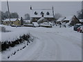
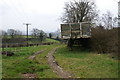
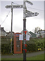
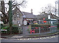
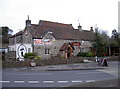
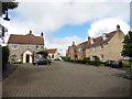
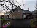
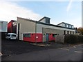
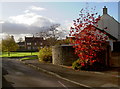
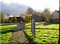
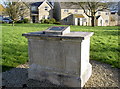
58 photos from this area
Area Information
Key information about the BS40 8AF including its size, population, and administrative classification.
- Area Type
- Postcode
- Area Size
- 25.5 hectares
- Population
- 1399
- Population Density
- 135 people/km²
House Prices in BS40 8AF
8
Properties
£383,250
Average Sold Price
£151,000
Lowest Price
£570,000
Highest Price
Showing 8 properties
| Address | Type | Beds | Baths | Last Sale Price | Last Sale Date | |
|---|---|---|---|---|---|---|
| 30 Felton Lane, Winford, BS40 8AF | house | - | - | £495,000 | Sep 2018 | |
| 67 Felton Lane, Winford, BS40 8AF | Detached | 4 | 2 | £566,000 | Jul 2018 | |
| 71 Felton Lane, Winford, BS40 8AF | Detached | 4 | 1 | £570,000 | Sep 2016 | |
| 65 Felton Lane, Winford, BS40 8AF | Bungalow | 3 | 1 | £217,500 | Jul 2014 | |
| 41 Felton Lane, Winford, BS40 8AF | Detached | 5 | 3 | £300,000 | Sep 2007 | |
| 34 Felton Lane, Winford, BS40 8AF | Detached | 5 | 2 | £151,000 | Apr 1996 | |
| 69 Felton Lane, Winford, BS40 8AF | Bungalow | 3 | 1 | - | - | |
| 32 Felton Lane, Winford, BS40 8AF | Detached | - | - | - | - |
Energy Efficiency in BS40 8AF
Amenities
Schools
| Rank | School | Type | Entry gender | Ages |
|---|
Explore more schools in this area
Go to Schools tabDemographics
Household Size
Two person
most common
Accommodation Type
Houses
most common
Tenure
83
majority
Ethnic Group
White
most common
Religion
N/A
most common
Household Composition
N/A
most common
Age
47
median
Adults (30-64 years)
most common
Household Deprivation
N/A
with no deprivation
NS-SEC
35
in Lower managerial occupations
Explore more demographic insights in this area
Go to Demographics tabPlanning
Planning Constraints
- Flood RiskPremium
- Ramsar Wetland SitesPremium
- Area of Outstanding Natural BeautyPremium
- Protected Nature ReservePremium
- Protected WoodlandPremium