Area Overview for BS40 7UT
Photos of BS40 7UT
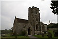
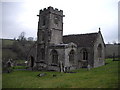
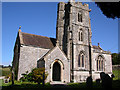
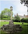
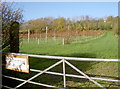
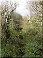
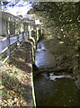
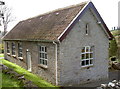
73 photos from this area
Area Information
Key information about the BS40 7UT including its size, population, and administrative classification.
- Area Type
- Postcode
- Area Size
- 19.1 hectares
- Population
- 1410
- Population Density
- 53 people/km²
House Prices in BS40 7UT
22
Properties
£366,667
Average Sold Price
£130,000
Lowest Price
£575,000
Highest Price
Showing 22 properties
| Address | Type | Beds | Baths | Last Sale Price | Last Sale Date | |
|---|---|---|---|---|---|---|
| Mendip Views, Upper Green Lane, Butcombe, BS40 7UT | Bungalow | - | - | £450,000 | Feb 2022 | |
| Rectory Cottage, The Batch, Butcombe, BS40 7UT | Detached | 4 | 2 | £575,000 | Jan 2017 | |
| Maple Cottage, The Batch, Butcombe, BS40 7UT | house | - | - | £465,000 | Jan 2015 | |
| Burnby House, The Batch, Butcombe, BS40 7UT | house | - | - | £405,000 | Jul 2006 | |
| Jayrise, The Batch, Butcombe, BS40 7UT | Detached | - | - | £175,000 | Dec 2002 | |
| Crossways, The Batch, Butcombe, BS40 7UT | house | - | - | £130,000 | Feb 1997 | |
| 5, Council Houses, Upper Green Lane, Butcombe, BS40 7UT | house | 3 | - | - | - | |
| 7, Council Houses, Upper Green Lane, Butcombe, BS40 7UT | Semi-detached | 3 | 1 | - | - | |
| Old Post Office, The Batch, Butcombe, BS40 7UT | house | - | - | - | - | |
| Thatchers Mead, Mill Lane, Butcombe, BS40 7UT | Detached | - | - | - | - |
Page 1 of 3
Energy Efficiency in BS40 7UT
Amenities
Schools
| Rank | School | Type | Entry gender | Ages |
|---|
Explore more schools in this area
Go to Schools tabDemographics
Household Size
Two person
most common
Accommodation Type
Houses
most common
Tenure
86
majority
Ethnic Group
White
most common
Religion
N/A
most common
Household Composition
N/A
most common
Age
47
median
Adults (30-64 years)
most common
Household Deprivation
N/A
with no deprivation
NS-SEC
47
in Lower managerial occupations
Explore more demographic insights in this area
Go to Demographics tabPlanning
Planning Constraints
- Flood RiskPremium
- Ramsar Wetland SitesPremium
- Area of Outstanding Natural BeautyPremium
- Protected Nature ReservePremium
- Protected WoodlandPremium