Area Overview for BS40 5HE
Photos of BS40 5HE
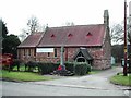
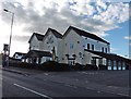
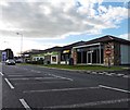
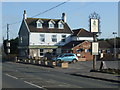
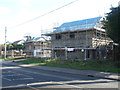
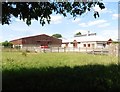
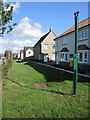
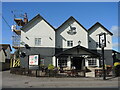
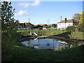
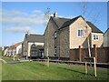
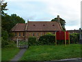
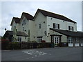
22 photos from this area
Area Information
Key information about the BS40 5HE including its size, population, and administrative classification.
- Area Type
- Postcode
- Area Size
- 1.6 hectares
- Population
- 1440
- Population Density
- 223 people/km²
House Prices in BS40 5HE
24
Properties
£236,817
Average Sold Price
£80,250
Lowest Price
£492,500
Highest Price
Showing 24 properties
| Address | Type | Beds | Baths | Last Sale Price | Last Sale Date | |
|---|---|---|---|---|---|---|
| 27 Rowan Way, Langford, BS40 5HE | Detached | 4 | 2 | £492,500 | Oct 2025 | |
| 18 Rowan Way, Langford, BS40 5HE | house | - | - | £470,000 | Jul 2023 | |
| 11 Rowan Way, Langford, BS40 5HE | Detached | 4 | 2 | £340,000 | May 2019 | |
| 28 Rowan Way, Langford, BS40 5HE | Detached | 4 | - | £250,000 | Mar 2014 | |
| 1 Rowan Way, Langford, BS40 5HE | Detached | 4 | - | £230,000 | Jul 2011 | |
| 29 Rowan Way, Langford, BS40 5HE | Detached | 4 | 2 | £305,000 | May 2006 | |
| 7 Rowan Way, Langford, BS40 5HE | Detached | - | - | £247,000 | Mar 2004 | |
| 12 Rowan Way, Langford, BS40 5HE | house | - | - | £212,500 | Sep 2003 | |
| 14 Rowan Way, Langford, BS40 5HE | Detached | - | - | £239,000 | Sep 2003 | |
| 23 Rowan Way, Langford, BS40 5HE | Detached | - | - | £205,000 | Oct 2002 |
Page 1 of 3
Energy Efficiency in BS40 5HE
Amenities
Schools
| Rank | School | Type | Entry gender | Ages |
|---|
Explore more schools in this area
Go to Schools tabDemographics
Household Size
Family (3-5 people)
most common
Accommodation Type
Houses
most common
Tenure
86
majority
Ethnic Group
White
most common
Religion
N/A
most common
Household Composition
N/A
most common
Age
47
median
Adults (30-64 years)
most common
Household Deprivation
N/A
with no deprivation
NS-SEC
49
in Lower managerial occupations
Explore more demographic insights in this area
Go to Demographics tabPlanning
Planning Constraints
- Flood RiskPremium
- Ramsar Wetland SitesPremium
- Area of Outstanding Natural BeautyPremium
- Protected Nature ReservePremium
- Protected WoodlandPremium