Area Overview for BS4 2DN
Photos of BS4 2DN
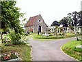
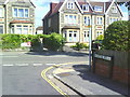
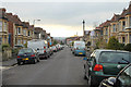
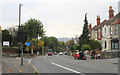
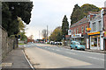
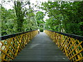
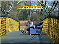
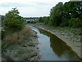
100 photos from this area
Area Information
Key information about the BS4 2DN including its size, population, and administrative classification.
- Area Type
- Postcode
- Area Size
- 5539 m²
- Population
- 1769
- Population Density
- 7583 people/km²
House Prices in BS4 2DN
26
Properties
£335,722
Average Sold Price
£69,950
Lowest Price
£680,000
Highest Price
Showing 26 properties
| Address | Type | Beds | Baths | Last Sale Price | Last Sale Date | |
|---|---|---|---|---|---|---|
| 19 Belluton Road, Knowle, Bristol, BS4 2DN | Terraced | 3 | 2 | £680,000 | Nov 2025 | |
| 37 Belluton Road, Knowle, Bristol, BS4 2DN | Terraced | 3 | 1 | £626,000 | Feb 2024 | |
| 41 Belluton Road, Knowle, Bristol, BS4 2DN | Terraced | 4 | 1 | £595,000 | Jul 2023 | |
| 33 Belluton Road, Knowle, Bristol, BS4 2DN | Retail | 3 | 1 | £568,000 | Feb 2022 | |
| 49 Belluton Road, Knowle, Bristol, BS4 2DN | house | 3 | - | £525,000 | Mar 2021 | |
| 43 Belluton Road, Knowle, Bristol, BS4 2DN | Terraced | 3 | 1 | £479,995 | Nov 2019 | |
| 51 Belluton Road, Knowle, Bristol, BS4 2DN | Terraced | 4 | 1 | £365,000 | May 2015 | |
| 47 Belluton Road, Knowle, Bristol, BS4 2DN | Terraced | 3 | 1 | £340,000 | May 2014 | |
| 3 Belluton Road, Knowle, Bristol, BS4 2DN | Terraced | 3 | - | £303,000 | Jan 2014 | |
| 23 Belluton Road, Knowle, Bristol, BS4 2DN | house | 3 | - | £250,000 | Apr 2012 |
Page 1 of 3
Energy Efficiency in BS4 2DN
Amenities
Schools
| Rank | School | Type | Entry gender | Ages |
|---|
Explore more schools in this area
Go to Schools tabDemographics
Household Size
Family (3-5 people)
most common
Accommodation Type
Houses
most common
Tenure
79
majority
Ethnic Group
White
most common
Religion
N/A
most common
Household Composition
N/A
most common
Age
47
median
Adults (30-64 years)
most common
Household Deprivation
N/A
with no deprivation
NS-SEC
52
in Lower managerial occupations
Explore more demographic insights in this area
Go to Demographics tabPlanning
Planning Constraints
- Flood RiskPremium
- Ramsar Wetland SitesPremium
- Area of Outstanding Natural BeautyPremium
- Protected Nature ReservePremium
- Protected WoodlandPremium