Area Overview for BS4 1UG
Photos of BS4 1UG
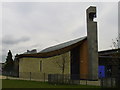
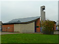
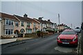
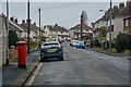

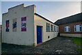
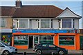

36 photos from this area
Area Information
Key information about the BS4 1UG including its size, population, and administrative classification.
- Area Type
- Postcode
- Area Size
- 1.8 hectares
- Population
- Not available
- Population Density
- Not available
House Prices in BS4 1UG
40
Properties
£152,000
Average Sold Price
£34,500
Lowest Price
£280,000
Highest Price
Showing 40 properties
| Address | Type | Beds | Baths | Last Sale Price | Last Sale Date | |
|---|---|---|---|---|---|---|
| 193 Creswicke Road, Knowle, Bristol, BS4 1UG | house | 3 | - | £245,000 | Sep 2024 | |
| 233 Creswicke Road, Knowle, Bristol, BS4 1UG | Terraced | 2 | 1 | £240,000 | Dec 2023 | |
| 213 Creswicke Road, Knowle, Bristol, BS4 1UG | house | 3 | 2 | £250,000 | Nov 2023 | |
| 201 Creswicke Road, Knowle, Bristol, BS4 1UG | Retail | 2 | 1 | £280,000 | Oct 2022 | |
| 223 Creswicke Road, Knowle, Bristol, BS4 1UG | Terraced | 3 | 1 | £180,000 | Sep 2019 | |
| 209 Creswicke Road, Knowle, Bristol, BS4 1UG | Terraced | 3 | 1 | £215,000 | Jul 2019 | |
| 241 Creswicke Road, Knowle, Bristol, BS4 1UG | Terraced | 2 | 1 | £195,000 | Oct 2018 | |
| 191 Creswicke Road, Knowle, Bristol, BS4 1UG | Detached | 3 | 2 | £153,000 | Mar 2018 | |
| 245 Creswicke Road, Knowle, Bristol, BS4 1UG | Terraced | 2 | 1 | £140,000 | Mar 2016 | |
| 247 Creswicke Road, Knowle, Bristol, BS4 1UG | house | - | - | £90,500 | Feb 2014 |
Page 1 of 4
Energy Efficiency in BS4 1UG
Amenities
Schools
| Rank | School | Type | Entry gender | Ages |
|---|
Explore more schools in this area
Go to Schools tabDemographics
Household Size
Family (3-5 people)
most common
Accommodation Type
Houses
most common
Tenure
37
majority
Ethnic Group
White
most common
Religion
N/A
most common
Household Composition
N/A
most common
Age
47
median
Adults (30-64 years)
most common
Household Deprivation
N/A
with no deprivation
NS-SEC
14
in Lower managerial occupations
Explore more demographic insights in this area
Go to Demographics tabPlanning
Planning Constraints
- Flood RiskPremium
- Ramsar Wetland SitesPremium
- Area of Outstanding Natural BeautyPremium
- Protected Nature ReservePremium
- Protected WoodlandPremium