Area Overview for BS39 6HH
Photos of BS39 6HH
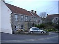
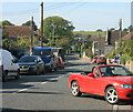
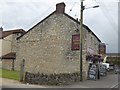
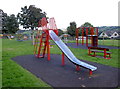
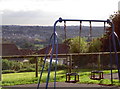
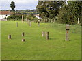
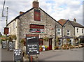
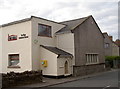
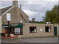
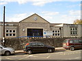
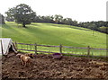
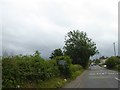
40 photos from this area
Area Information
Key information about the BS39 6HH including its size, population, and administrative classification.
- Area Type
- Postcode
- Area Size
- 2799 m²
- Population
- 1344
- Population Density
- 1249 people/km²
House Prices in BS39 6HH
7
Properties
£206,167
Average Sold Price
£56,000
Lowest Price
£326,000
Highest Price
Showing 7 properties
| Address | Type | Beds | Baths | Last Sale Price | Last Sale Date | |
|---|---|---|---|---|---|---|
| Yew Tree Lodge, Timsbury Road, High Littleton, Bristol, BS39 6HH | house | - | - | £326,000 | May 2017 | |
| Mount Pleasant, Timsbury Road, High Littleton, Bristol, BS39 6HH | house | 4 | - | £236,500 | Nov 2010 | |
| Bethany Cottage, Timsbury Road, High Littleton, Bristol, BS39 6HH | Semi-detached | - | - | £56,000 | Apr 1999 | |
| The Batch, Timsbury Road, High Littleton, Bristol, BS39 6HH | Semi-detached | - | - | - | - | |
| Old Market Tavern, Timsbury Road, High Littleton, Bristol, BS39 6HH | Terraced | - | - | - | - | |
| Sharon Cottage, Timsbury Road, High Littleton, Bristol, BS39 6HH | Semi-detached | - | - | - | - | |
| Fern Cottage, Timsbury Road, High Littleton, Bristol, BS39 6HH | Terraced | - | - | - | - |
Energy Efficiency in BS39 6HH
Amenities
Schools
| Rank | School | Type | Entry gender | Ages |
|---|
Explore more schools in this area
Go to Schools tabDemographics
Household Size
Two person
most common
Accommodation Type
Houses
most common
Tenure
89
majority
Ethnic Group
White
most common
Religion
N/A
most common
Household Composition
N/A
most common
Age
47
median
Adults (30-64 years)
most common
Household Deprivation
N/A
with no deprivation
NS-SEC
43
in Lower managerial occupations
Explore more demographic insights in this area
Go to Demographics tabPlanning
Planning Constraints
- Flood RiskPremium
- Ramsar Wetland SitesPremium
- Area of Outstanding Natural BeautyPremium
- Protected Nature ReservePremium
- Protected WoodlandPremium