Area Overview for BS39 4NW
Photos of BS39 4NW
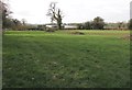
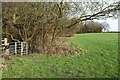

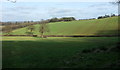
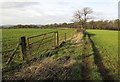
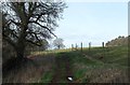
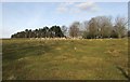
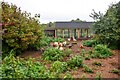
22 photos from this area
Area Information
Key information about the BS39 4NW including its size, population, and administrative classification.
- Area Type
- Postcode
- Area Size
- 1.3 km²
- Population
- 1461
- Population Density
- 92 people/km²
House Prices in BS39 4NW
19
Properties
£524,000
Average Sold Price
£385,000
Lowest Price
£732,000
Highest Price
Showing 19 properties
| Address | Type | Beds | Baths | Last Sale Price | Last Sale Date | |
|---|---|---|---|---|---|---|
| The Old Rectory, Main Road, Chelwood, Bristol, BS39 4NW | house | - | - | £732,000 | Oct 2021 | |
| Old School House, Main Road, Chelwood, Bristol, BS39 4NW | house | - | - | £455,000 | Feb 2021 | |
| Rectory House, Main Road, Chelwood, Bristol, BS39 4NW | Semi-detached | - | - | £385,000 | Aug 2003 | |
| Primrose Cottage, Main Road, Chelwood, Bristol, BS39 4NW | Land | 3 | 1 | - | - | |
| Church Cottage, Church Lane, Chelwood, Bristol, BS39 4NW | Detached | 4 | 2 | - | - | |
| Myrtle House, Main Road, Chelwood, Bristol, BS39 4NW | Detached | 4 | 2 | - | - | |
| Parcel 1326 With Solar Panel Array, Main Road, Chelwood, Bristol, BS39 4NW | Industrial | - | - | - | - | |
| Annexe, The Old Rectory, Main Road, Chelwood, Bristol, BS39 4NW | Flat | - | - | - | - | |
| The Old Barn, Church Lane, Chelwood, Bristol, BS39 4NW | house | - | - | - | - | |
| Burnts Farm, Main Road, Chelwood, Bristol, BS39 4NW | Detached | - | - | - | - |
Page 1 of 2
Energy Efficiency in BS39 4NW
Amenities
Schools
| Rank | School | Type | Entry gender | Ages |
|---|
Explore more schools in this area
Go to Schools tabDemographics
Household Size
Two person
most common
Accommodation Type
Houses
most common
Tenure
79
majority
Ethnic Group
White
most common
Religion
N/A
most common
Household Composition
N/A
most common
Age
47
median
Adults (30-64 years)
most common
Household Deprivation
N/A
with no deprivation
NS-SEC
41
in Lower managerial occupations
Explore more demographic insights in this area
Go to Demographics tabPlanning
Planning Constraints
- Flood RiskPremium
- Ramsar Wetland SitesPremium
- Area of Outstanding Natural BeautyPremium
- Protected Nature ReservePremium
- Protected WoodlandPremium