Area Overview for BS37 8QD
Photos of BS37 8QD
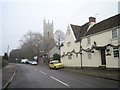
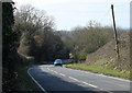

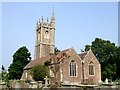
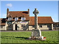
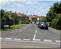
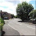
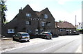
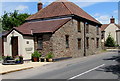
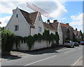
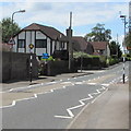

60 photos from this area
Area Information
Key information about the BS37 8QD including its size, population, and administrative classification.
- Area Type
- Postcode
- Area Size
- 6.3 hectares
- Population
- 1939
- Population Density
- 133 people/km²
House Prices in BS37 8QD
16
Properties
£365,227
Average Sold Price
£122,500
Lowest Price
£749,950
Highest Price
Showing 16 properties
| Address | Type | Beds | Baths | Last Sale Price | Last Sale Date | |
|---|---|---|---|---|---|---|
| 1 Old Mill Close, Westerleigh, BS37 8QD | Detached | 4 | 2 | £540,000 | Jan 2025 | |
| 7 Old Mill Close, Westerleigh, BS37 8QD | Detached | 4 | 2 | £625,000 | Aug 2024 | |
| 11 Old Mill Close, Westerleigh, BS37 8QD | house | - | - | £749,950 | Dec 2020 | |
| 12 Old Mill Close, Westerleigh, BS37 8QD | Detached | 4 | 1 | £600,000 | May 2018 | |
| 4 Old Mill Close, Westerleigh, BS37 8QD | Detached | 4 | 3 | £307,000 | Oct 2013 | |
| 5 Old Mill Close, Westerleigh, BS37 8QD | Detached | - | - | £375,000 | Apr 2006 | |
| Rockaway, 10A Old Mill Close, Westerleigh, BS37 8QD | house | 4 | - | £250,000 | Feb 2004 | |
| 2 Old Mill Close, Westerleigh, BS37 8QD | Detached | - | - | £244,000 | Jul 2002 | |
| 3 Old Mill Close, Westerleigh, BS37 8QD | Detached | - | - | £191,000 | Jul 2001 | |
| 14 Old Mill Close, Westerleigh, BS37 8QD | Detached | - | - | £310,000 | Jul 2001 |
Page 1 of 2
Energy Efficiency in BS37 8QD
Amenities
Schools
| Rank | School | Type | Entry gender | Ages |
|---|
Explore more schools in this area
Go to Schools tabDemographics
Household Size
Two person
most common
Accommodation Type
Houses
most common
Tenure
81
majority
Ethnic Group
White
most common
Religion
N/A
most common
Household Composition
N/A
most common
Age
47
median
Adults (30-64 years)
most common
Household Deprivation
N/A
with no deprivation
NS-SEC
34
in Lower managerial occupations
Explore more demographic insights in this area
Go to Demographics tabPlanning
Planning Constraints
- Flood RiskPremium
- Ramsar Wetland SitesPremium
- Area of Outstanding Natural BeautyPremium
- Protected Nature ReservePremium
- Protected WoodlandPremium