Area Overview for BS37 4LH
Photos of BS37 4LH
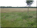
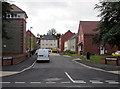
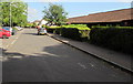
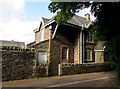
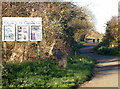
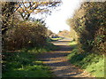
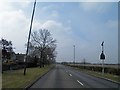
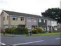
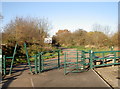
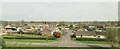
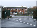
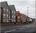
14 photos from this area
Area Information
Key information about the BS37 4LH including its size, population, and administrative classification.
- Area Type
- Postcode
- Area Size
- 1.2 hectares
- Population
- 1369
- Population Density
- 2672 people/km²
House Prices in BS37 4LH
39
Properties
£141,774
Average Sold Price
£1,750
Lowest Price
£275,000
Highest Price
Showing 39 properties
| Address | Type | Beds | Baths | Last Sale Price | Last Sale Date | |
|---|---|---|---|---|---|---|
| 111 Woodmancote, Yate, BS37 4LH | Terraced | 2 | 1 | £250,000 | Sep 2025 | |
| 94 Woodmancote, Yate, BS37 4LH | Terraced | 3 | 1 | £275,000 | Jun 2023 | |
| 117 Woodmancote, Yate, BS37 4LH | Terraced | 3 | - | £218,000 | Feb 2021 | |
| 108 Woodmancote, Yate, BS37 4LH | house | - | - | £185,000 | Dec 2020 | |
| 101 Woodmancote, Yate, BS37 4LH | Terraced | 3 | 1 | £210,000 | Oct 2019 | |
| 118 Woodmancote, Yate, BS37 4LH | Terraced | 3 | 1 | £225,000 | Jun 2019 | |
| 109 Woodmancote, Yate, BS37 4LH | Terraced | 2 | 1 | £200,000 | Jan 2019 | |
| 87 Woodmancote, Yate, BS37 4LH | Terraced | 3 | - | £196,000 | Dec 2018 | |
| 114 Woodmancote, Yate, BS37 4LH | Terraced | - | - | £1,750 | Jul 2017 | |
| 89 Woodmancote, Yate, BS37 4LH | Terraced | 3 | - | £147,000 | Apr 2014 |
Page 1 of 4
Energy Efficiency in BS37 4LH
Amenities
Schools
| Rank | School | Type | Entry gender | Ages |
|---|
Explore more schools in this area
Go to Schools tabDemographics
Household Size
Family (3-5 people)
most common
Accommodation Type
Houses
most common
Tenure
82
majority
Ethnic Group
White
most common
Religion
N/A
most common
Household Composition
N/A
most common
Age
47
median
Adults (30-64 years)
most common
Household Deprivation
N/A
with no deprivation
NS-SEC
28
in Lower managerial occupations
Explore more demographic insights in this area
Go to Demographics tabPlanning
Planning Constraints
- Flood RiskPremium
- Ramsar Wetland SitesPremium
- Area of Outstanding Natural BeautyPremium
- Protected Nature ReservePremium
- Protected WoodlandPremium