Area Overview for BS35 4AE
Photos of BS35 4AE
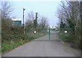
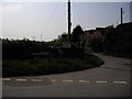
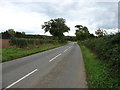
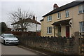
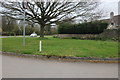
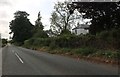
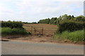
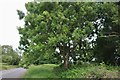

40 photos from this area
Area Information
Key information about the BS35 4AE including its size, population, and administrative classification.
- Area Type
- Postcode
- Area Size
- 5.0 hectares
- Population
- 1749
- Population Density
- 39 people/km²
House Prices in BS35 4AE
15
Properties
£421,200
Average Sold Price
£188,000
Lowest Price
£975,000
Highest Price
Showing 15 properties
| Address | Type | Beds | Baths | Last Sale Price | Last Sale Date | |
|---|---|---|---|---|---|---|
| Link House, Redhill Lane, Olveston, BS35 4AE | house | 5 | 2 | £975,000 | Feb 2024 | |
| Merridene, Redhill Lane, Olveston, BS35 4AE | Semi-detached | - | - | £260,000 | Feb 2006 | |
| Severn View, Redhill Lane, Olveston, BS35 4AE | Semi-detached | - | - | £335,000 | Sep 2004 | |
| Home Farmhouse, Redhill Lane, Olveston, BS35 4AE | Detached | - | - | £348,000 | Jul 2002 | |
| Elberton Forge, Redhill Lane, Olveston, BS35 4AE | Detached | 4 | 2 | £188,000 | Oct 1999 | |
| 2, The Beeches, Old Farm Court, Redhill Lane, Olveston, BS35 4AE | Detached | 5 | 2 | - | - | |
| 4, Bridge View, Old Farm Court, Redhill Lane, Olveston, BS35 4AE | Detached | 5 | - | - | - | |
| The Grange, Redhill Lane, Olveston, BS35 4AE | Detached | 4 | - | - | - | |
| Paddock Edge, Redhill Lane, Olveston, BS35 4AE | Detached | - | - | - | - | |
| Pillar Box Cottage, Redhill Lane, Olveston, BS35 4AE | Semi-detached | - | - | - | - |
Page 1 of 2
Energy Efficiency in BS35 4AE
Amenities
Schools
| Rank | School | Type | Entry gender | Ages |
|---|
Explore more schools in this area
Go to Schools tabDemographics
Household Size
Two person
most common
Accommodation Type
Houses
most common
Tenure
81
majority
Ethnic Group
White
most common
Religion
N/A
most common
Household Composition
N/A
most common
Age
47
median
Adults (30-64 years)
most common
Household Deprivation
N/A
with no deprivation
NS-SEC
46
in Lower managerial occupations
Explore more demographic insights in this area
Go to Demographics tabPlanning
Planning Constraints
- Flood RiskPremium
- Ramsar Wetland SitesPremium
- Area of Outstanding Natural BeautyPremium
- Protected Nature ReservePremium
- Protected WoodlandPremium