Area Overview for BS35 2DP
Photos of BS35 2DP
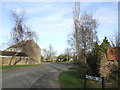
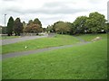
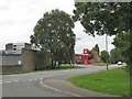
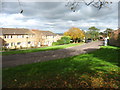
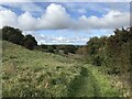
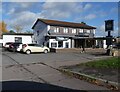
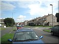
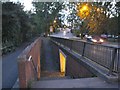
19 photos from this area
Area Information
Key information about the BS35 2DP including its size, population, and administrative classification.
- Area Type
- Postcode
- Area Size
- 6916 m²
- Population
- 1432
- Population Density
- 4856 people/km²
House Prices in BS35 2DP
20
Properties
£247,208
Average Sold Price
£55,500
Lowest Price
£503,000
Highest Price
Showing 20 properties
| Address | Type | Beds | Baths | Last Sale Price | Last Sale Date | |
|---|---|---|---|---|---|---|
| 128 Avon Way, Thornbury, BS35 2DP | house | - | - | £300,000 | Nov 2025 | |
| 116 Avon Way, Thornbury, BS35 2DP | Detached | 3 | 1 | £273,000 | Sep 2023 | |
| 206 Avon Way, Thornbury, BS35 2DP | house | - | - | £503,000 | Jul 2022 | |
| 114 Avon Way, Thornbury, BS35 2DP | Retail | 3 | - | £327,000 | Apr 2022 | |
| 124 Avon Way, Thornbury, BS35 2DP | house | 3 | - | £242,000 | Sep 2019 | |
| 202 Avon Way, Thornbury, BS35 2DP | house | - | - | £395,000 | Jun 2017 | |
| 110 Avon Way, Thornbury, BS35 2DP | Semi-detached | 3 | - | £235,000 | Apr 2014 | |
| 118 Avon Way, Thornbury, BS35 2DP | Semi-detached | 3 | - | £173,000 | Jun 2013 | |
| 200 Avon Way, Thornbury, BS35 2DP | Detached | 5 | 2 | £263,000 | Aug 2003 | |
| 208 Avon Way, Thornbury, BS35 2DP | Detached | - | - | £141,500 | Nov 1998 |
Page 1 of 2
Energy Efficiency in BS35 2DP
Amenities
Schools
| Rank | School | Type | Entry gender | Ages |
|---|
Explore more schools in this area
Go to Schools tabDemographics
Household Size
Family (3-5 people)
most common
Accommodation Type
Houses
most common
Tenure
88
majority
Ethnic Group
White
most common
Religion
N/A
most common
Household Composition
N/A
most common
Age
47
median
Adults (30-64 years)
most common
Household Deprivation
N/A
with no deprivation
NS-SEC
48
in Lower managerial occupations
Explore more demographic insights in this area
Go to Demographics tabPlanning
Planning Constraints
- Flood RiskPremium
- Ramsar Wetland SitesPremium
- Area of Outstanding Natural BeautyPremium
- Protected Nature ReservePremium
- Protected WoodlandPremium