Area Overview for BS35 2DF
Photos of BS35 2DF
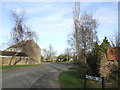
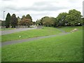
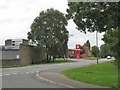
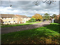
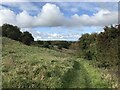
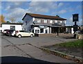
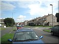
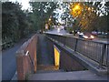
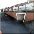
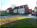
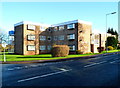
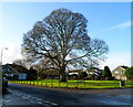
19 photos from this area
Area Information
Key information about the BS35 2DF including its size, population, and administrative classification.
- Area Type
- Postcode
- Area Size
- 1.3 hectares
- Population
- 2195
- Population Density
- 934 people/km²
House Prices in BS35 2DF
30
Properties
£170,942
Average Sold Price
£47,000
Lowest Price
£285,000
Highest Price
Showing 30 properties
| Address | Type | Beds | Baths | Last Sale Price | Last Sale Date | |
|---|---|---|---|---|---|---|
| 56 Avon Way, Thornbury, BS35 2DF | Semi-detached | 3 | 1 | £225,000 | May 2025 | |
| 54 Avon Way, Thornbury, BS35 2DF | Semi-detached | 3 | 1 | £240,000 | Jan 2025 | |
| 60 Avon Way, Thornbury, BS35 2DF | Semi-detached | 3 | 1 | £285,000 | Sep 2023 | |
| 48 Avon Way, Thornbury, BS35 2DF | Flat | - | - | £155,000 | Aug 2022 | |
| 46 Avon Way, Thornbury, BS35 2DF | Flat | - | - | £153,500 | Apr 2021 | |
| 52 Avon Way, Thornbury, BS35 2DF | Flat | - | - | £151,500 | Feb 2020 | |
| 6 Avon Way, Thornbury, BS35 2DF | Semi-detached | 3 | 1 | £240,000 | Jun 2018 | |
| 12 Avon Way, Thornbury, BS35 2DF | house | - | - | £222,500 | Dec 2017 | |
| 16 Avon Way, Thornbury, BS35 2DF | Terraced | 3 | - | £215,000 | May 2017 | |
| 36 Avon Way, Thornbury, BS35 2DF | Terraced | 3 | - | £188,000 | Oct 2015 |
Page 1 of 3
Energy Efficiency in BS35 2DF
Amenities
Schools
| Rank | School | Type | Entry gender | Ages |
|---|
Explore more schools in this area
Go to Schools tabDemographics
Household Size
One person
most common
Accommodation Type
Houses
most common
Tenure
52
majority
Ethnic Group
White
most common
Religion
N/A
most common
Household Composition
N/A
most common
Age
47
median
Adults (30-64 years)
most common
Household Deprivation
N/A
with no deprivation
NS-SEC
28
in Lower managerial occupations
Explore more demographic insights in this area
Go to Demographics tabPlanning
Planning Constraints
- Flood RiskPremium
- Ramsar Wetland SitesPremium
- Area of Outstanding Natural BeautyPremium
- Protected Nature ReservePremium
- Protected WoodlandPremium