Area Overview for BS35 1EZ
Photos of BS35 1EZ

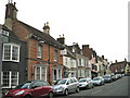
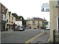
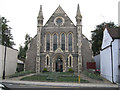
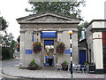
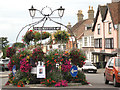
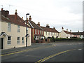
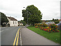
100 photos from this area
Area Information
Key information about the BS35 1EZ including its size, population, and administrative classification.
- Area Type
- Postcode
- Area Size
- 1.6 hectares
- Population
- 1678
- Population Density
- 692 people/km²
House Prices in BS35 1EZ
13
Properties
£265,121
Average Sold Price
£135,950
Lowest Price
£390,000
Highest Price
Showing 13 properties
| Address | Type | Beds | Baths | Last Sale Price | Last Sale Date | |
|---|---|---|---|---|---|---|
| 9 Warwick Place, Thornbury, BS35 1EZ | Terraced | 3 | 2 | £390,000 | Jul 2024 | |
| 2 Warwick Place, Thornbury, BS35 1EZ | house | 3 | 1 | £312,000 | Feb 2021 | |
| 4 Warwick Place, Thornbury, BS35 1EZ | Terraced | 3 | 1 | £325,000 | Nov 2020 | |
| 6 Warwick Place, Thornbury, BS35 1EZ | Terraced | 3 | 1 | £295,000 | Aug 2020 | |
| 12 Warwick Place, Thornbury, BS35 1EZ | house | - | - | £342,000 | Mar 2016 | |
| 1 Warwick Place, Thornbury, BS35 1EZ | house | 3 | - | £255,000 | Jul 2011 | |
| 8 Warwick Place, Thornbury, BS35 1EZ | Terraced | 3 | 2 | £300,000 | Jun 2008 | |
| 5 Warwick Place, Thornbury, BS35 1EZ | Terraced | - | - | £263,000 | Aug 2006 | |
| 11 Warwick Place, Thornbury, BS35 1EZ | Terraced | - | - | £211,000 | Oct 2003 | |
| 10 Warwick Place, Thornbury, BS35 1EZ | Terraced | - | - | £210,000 | Jun 2003 |
Page 1 of 2
Energy Efficiency in BS35 1EZ
Amenities
Schools
| Rank | School | Type | Entry gender | Ages |
|---|
Explore more schools in this area
Go to Schools tabDemographics
Household Size
Two person
most common
Accommodation Type
Houses
most common
Tenure
68
majority
Ethnic Group
White
most common
Religion
N/A
most common
Household Composition
N/A
most common
Age
47
median
Adults (30-64 years)
most common
Household Deprivation
N/A
with no deprivation
NS-SEC
41
in Lower managerial occupations
Explore more demographic insights in this area
Go to Demographics tabPlanning
Planning Constraints
- Flood RiskPremium
- Ramsar Wetland SitesPremium
- Area of Outstanding Natural BeautyPremium
- Protected Nature ReservePremium
- Protected WoodlandPremium