Area Overview for BS34 7QU
Photos of BS34 7QU
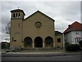
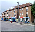
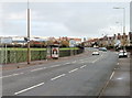
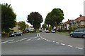
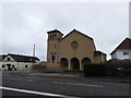
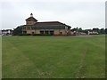
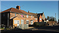
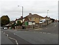
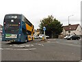
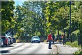
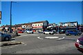
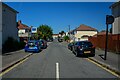
82 photos from this area
Area Information
Key information about the BS34 7QU including its size, population, and administrative classification.
- Area Type
- Postcode
- Area Size
- 6927 m²
- Population
- 1748
- Population Density
- 1465 people/km²
House Prices in BS34 7QU
10
Properties
£274,694
Average Sold Price
£147,000
Lowest Price
£366,500
Highest Price
Showing 10 properties
| Address | Type | Beds | Baths | Last Sale Price | Last Sale Date | |
|---|---|---|---|---|---|---|
| 9 Hollyleigh Avenue, Filton, BS34 7QU | Detached | 3 | 1 | £366,500 | Nov 2025 | |
| 3 Hollyleigh Avenue, Filton, BS34 7QU | Detached | 3 | 2 | £350,000 | Feb 2019 | |
| 8 Hollyleigh Avenue, Filton, BS34 7QU | Semi-detached | 4 | - | £265,000 | May 2014 | |
| 6 Hollyleigh Avenue, Filton, BS34 7QU | Semi-detached | 3 | - | £265,000 | Mar 2014 | |
| 1 Hollyleigh Avenue, Filton, BS34 7QU | house | - | - | £340,000 | Sep 2010 | |
| 2 Hollyleigh Avenue, Filton, BS34 7QU | Semi-detached | - | - | £225,000 | Dec 2009 | |
| 10 Hollyleigh Avenue, Filton, BS34 7QU | house | 3 | - | £239,050 | May 2007 | |
| 4 Hollyleigh Avenue, Filton, BS34 7QU | Semi-detached | 3 | - | £147,000 | Aug 2002 | |
| 7 Hollyleigh Avenue, Filton, BS34 7QU | Semi-detached | - | - | - | - | |
| 5 Hollyleigh Avenue, Filton, BS34 7QU | Semi-detached | - | - | - | - |
Energy Efficiency in BS34 7QU
Amenities
Schools
| Rank | School | Type | Entry gender | Ages |
|---|
Explore more schools in this area
Go to Schools tabDemographics
Household Size
One person
most common
Accommodation Type
Flats
most common
Tenure
44
majority
Ethnic Group
White
most common
Religion
N/A
most common
Household Composition
N/A
most common
Age
47
median
Adults (30-64 years)
most common
Household Deprivation
N/A
with no deprivation
NS-SEC
27
in Lower managerial occupations
Explore more demographic insights in this area
Go to Demographics tabPlanning
Planning Constraints
- Flood RiskPremium
- Ramsar Wetland SitesPremium
- Area of Outstanding Natural BeautyPremium
- Protected Nature ReservePremium
- Protected WoodlandPremium