Area Overview for BS34 6PY
Photos of BS34 6PY
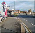
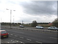
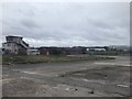
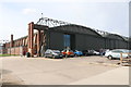
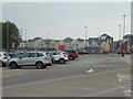
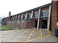
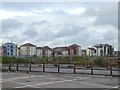
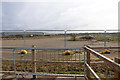
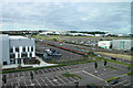
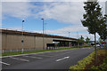
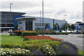
40 photos from this area
Area Information
Key information about the BS34 6PY including its size, population, and administrative classification.
- Area Type
- Postcode
- Area Size
- 6.7 hectares
- Population
- Not available
- Population Density
- Not available
House Prices in BS34 6PY
8
Properties
£137,821
Average Sold Price
£1,250
Lowest Price
£310,000
Highest Price
Showing 8 properties
| Address | Type | Beds | Baths | Last Sale Price | Last Sale Date | |
|---|---|---|---|---|---|---|
| 98 Gloucester Road, Patchway, BS34 6PY | house | - | - | £310,000 | Mar 2025 | |
| 104 Gloucester Road, Patchway, BS34 6PY | Bungalow | 2 | 1 | £220,000 | Feb 2020 | |
| 96 Gloucester Road, Patchway, BS34 6PY | Bungalow | 4 | 2 | £1,250 | Mar 2019 | |
| 92 Gloucester Road, Patchway, BS34 6PY | Bungalow | 1 | 1 | £210,000 | Feb 2016 | |
| 94 Gloucester Road, Patchway, BS34 6PY | Detached | - | - | £45,000 | Jul 2014 | |
| 106 Gloucester Road, Patchway, BS34 6PY | Detached | - | - | £89,000 | Oct 1999 | |
| 102 Gloucester Road, Patchway, BS34 6PY | Detached | - | - | £89,500 | May 1999 | |
| 100 Gloucester Road, Patchway, BS34 6PY | Detached | - | - | - | - |
Energy Efficiency in BS34 6PY
Amenities
Schools
| Rank | School | Type | Entry gender | Ages |
|---|
Explore more schools in this area
Go to Schools tabDemographics
Household Size
Family (3-5 people)
most common
Accommodation Type
Houses
most common
Tenure
78
majority
Ethnic Group
White
most common
Religion
N/A
most common
Household Composition
N/A
most common
Age
47
median
Adults (30-64 years)
most common
Household Deprivation
N/A
with no deprivation
NS-SEC
36
in Lower managerial occupations
Explore more demographic insights in this area
Go to Demographics tabPlanning
Planning Constraints
- Flood RiskPremium
- Ramsar Wetland SitesPremium
- Area of Outstanding Natural BeautyPremium
- Protected Nature ReservePremium
- Protected WoodlandPremium