Area Overview for BS34 5GR
Photos of BS34 5GR
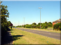
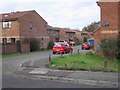
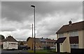
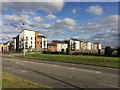

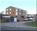
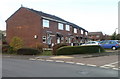
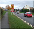
26 photos from this area
Area Information
Key information about the BS34 5GR including its size, population, and administrative classification.
- Area Type
- Postcode
- Area Size
- 1.4 hectares
- Population
- 1667
- Population Density
- 10888 people/km²
House Prices in BS34 5GR
43
Properties
£303,211
Average Sold Price
£192,995
Lowest Price
£410,000
Highest Price
Showing 43 properties
| Address | Type | Beds | Baths | Last Sale Price | Last Sale Date | |
|---|---|---|---|---|---|---|
| 7 Long Leaze Road, Patchway, BS34 5GR | Flat | - | - | £240,000 | Oct 2025 | |
| 59 Long Leaze Road, Patchway, BS34 5GR | house | - | - | £410,000 | Mar 2025 | |
| 67 Long Leaze Road, Patchway, BS34 5GR | house | - | - | £400,000 | Jul 2024 | |
| 15 Long Leaze Road, Patchway, BS34 5GR | Flat | 2 | - | £210,000 | Apr 2024 | |
| 11 Long Leaze Road, Patchway, BS34 5GR | Flat | - | - | £218,000 | Feb 2024 | |
| 5 Long Leaze Road, Patchway, BS34 5GR | Flat | 2 | 2 | £234,000 | Jun 2023 | |
| 57 Long Leaze Road, Patchway, BS34 5GR | Semi-detached | 3 | 3 | £341,000 | Jul 2020 | |
| 24 Long Leaze Road, Patchway, BS34 5GR | Detached | 3 | 2 | £364,995 | Sep 2019 | |
| 22 Long Leaze Road, Patchway, BS34 5GR | house | - | - | £359,995 | Sep 2019 | |
| 20 Long Leaze Road, Patchway, BS34 5GR | Retail | 4 | 1 | £359,995 | Aug 2019 |
Page 1 of 5
Energy Efficiency in BS34 5GR
Amenities
Schools
| Rank | School | Type | Entry gender | Ages |
|---|
Explore more schools in this area
Go to Schools tabDemographics
Household Size
Family (3-5 people)
most common
Accommodation Type
Houses
most common
Tenure
59
majority
Ethnic Group
White
most common
Religion
N/A
most common
Household Composition
N/A
most common
Age
47
median
Adults (30-64 years)
most common
Household Deprivation
N/A
with no deprivation
NS-SEC
46
in Lower managerial occupations
Explore more demographic insights in this area
Go to Demographics tabPlanning
Planning Constraints
- Flood RiskPremium
- Ramsar Wetland SitesPremium
- Area of Outstanding Natural BeautyPremium
- Protected Nature ReservePremium
- Protected WoodlandPremium