Area Overview for BS32 9DW
Photos of BS32 9DW
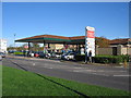
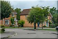
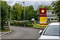
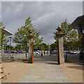
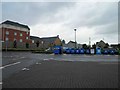
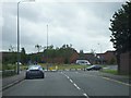
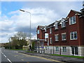
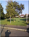
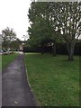
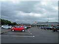
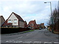
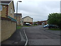
15 photos from this area
Area Information
Key information about the BS32 9DW including its size, population, and administrative classification.
- Area Type
- Postcode
- Area Size
- 7993 m²
- Population
- Not available
- Population Density
- Not available
House Prices in BS32 9DW
48
Properties
£207,048
Average Sold Price
£158,000
Lowest Price
£380,000
Highest Price
Showing 48 properties
| Address | Type | Beds | Baths | Last Sale Price | Last Sale Date | |
|---|---|---|---|---|---|---|
| 55 The Hedgerows, Bradley Stoke, BS32 9DW | house | 3 | 1 | £380,000 | Feb 2024 | |
| 27 The Hedgerows, Bradley Stoke, BS32 9DW | Flat | 2 | 2 | £215,000 | Nov 2023 | |
| 33 The Hedgerows, Bradley Stoke, BS32 9DW | Flat | - | - | £210,000 | Oct 2023 | |
| 93 The Hedgerows, Bradley Stoke, BS32 9DW | Flat | 3 | 1 | £232,000 | Aug 2023 | |
| 59 The Hedgerows, Bradley Stoke, BS32 9DW | Flat | 2 | 1 | £202,000 | Jul 2023 | |
| 69 The Hedgerows, Bradley Stoke, BS32 9DW | Flat | - | - | £185,000 | Jan 2022 | |
| 19 The Hedgerows, Bradley Stoke, BS32 9DW | Flat | - | - | £200,000 | Jan 2022 | |
| 37 The Hedgerows, Bradley Stoke, BS32 9DW | Semi-detached | 3 | 2 | £265,000 | Feb 2021 | |
| 91 The Hedgerows, Bradley Stoke, BS32 9DW | Flat | - | - | £182,500 | Oct 2020 | |
| 51 The Hedgerows, Bradley Stoke, BS32 9DW | Flat | 2 | 2 | £215,000 | Jan 2019 |
Page 1 of 5
Energy Efficiency in BS32 9DW
Amenities
Schools
| Rank | School | Type | Entry gender | Ages |
|---|
Explore more schools in this area
Go to Schools tabDemographics
Household Size
Family (3-5 people)
most common
Accommodation Type
Houses
most common
Tenure
42
majority
Ethnic Group
White
most common
Religion
N/A
most common
Household Composition
N/A
most common
Age
47
median
Adults (30-64 years)
most common
Household Deprivation
N/A
with no deprivation
NS-SEC
39
in Lower managerial occupations
Explore more demographic insights in this area
Go to Demographics tabPlanning
Planning Constraints
- Flood RiskPremium
- Ramsar Wetland SitesPremium
- Area of Outstanding Natural BeautyPremium
- Protected Nature ReservePremium
- Protected WoodlandPremium