Area Overview for BS32 8AG
Photos of BS32 8AG
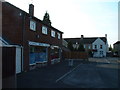
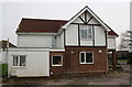
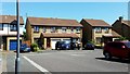
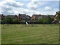
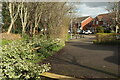
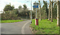
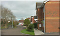
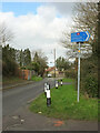
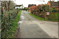
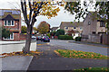
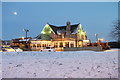
32 photos from this area
Area Information
Key information about the BS32 8AG including its size, population, and administrative classification.
- Area Type
- Postcode
- Area Size
- 8705 m²
- Population
- Not available
- Population Density
- Not available
House Prices in BS32 8AG
16
Properties
£310,050
Average Sold Price
£95,500
Lowest Price
£585,000
Highest Price
Showing 16 properties
| Address | Type | Beds | Baths | Last Sale Price | Last Sale Date | |
|---|---|---|---|---|---|---|
| 6 Hales Horn Close, Bradley Stoke, BS32 8AG | Detached | 4 | 3 | £520,000 | Jul 2024 | |
| 13 Hales Horn Close, Bradley Stoke, BS32 8AG | Detached | 4 | 3 | £552,500 | Jun 2023 | |
| 2 Hales Horn Close, Bradley Stoke, BS32 8AG | Detached | 6 | 4 | £585,000 | Sep 2021 | |
| 3 Hales Horn Close, Bradley Stoke, BS32 8AG | Detached | - | - | £228,000 | Dec 2012 | |
| 8 Hales Horn Close, Bradley Stoke, BS32 8AG | house | - | - | £228,500 | Nov 2010 | |
| 14 Hales Horn Close, Bradley Stoke, BS32 8AG | Detached | 3 | 1 | £225,000 | Sep 2009 | |
| 7 Hales Horn Close, Bradley Stoke, BS32 8AG | house | - | - | £227,000 | Dec 2006 | |
| 15 Hales Horn Close, Bradley Stoke, BS32 8AG | Detached | - | - | £234,000 | Jan 2005 | |
| 4 Hales Horn Close, Bradley Stoke, BS32 8AG | Detached | - | - | £205,000 | Oct 2002 | |
| 10 Hales Horn Close, Bradley Stoke, BS32 8AG | Detached | - | - | £95,500 | Jun 1999 |
Page 1 of 2
Energy Efficiency in BS32 8AG
Amenities
Schools
| Rank | School | Type | Entry gender | Ages |
|---|
Explore more schools in this area
Go to Schools tabDemographics
Household Size
Two person
most common
Accommodation Type
Houses
most common
Tenure
86
majority
Ethnic Group
White
most common
Religion
N/A
most common
Household Composition
N/A
most common
Age
47
median
Adults (30-64 years)
most common
Household Deprivation
N/A
with no deprivation
NS-SEC
47
in Lower managerial occupations
Explore more demographic insights in this area
Go to Demographics tabPlanning
Planning Constraints
- Flood RiskPremium
- Ramsar Wetland SitesPremium
- Area of Outstanding Natural BeautyPremium
- Protected Nature ReservePremium
- Protected WoodlandPremium