Area Overview for BS32 8AD
Photos of BS32 8AD
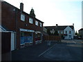
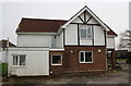
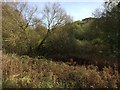
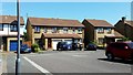
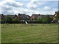
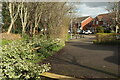
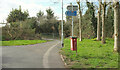
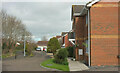
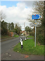
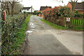
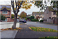
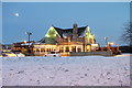
32 photos from this area
Area Information
Key information about the BS32 8AD including its size, population, and administrative classification.
- Area Type
- Postcode
- Area Size
- 1.8 hectares
- Population
- Not available
- Population Density
- Not available
House Prices in BS32 8AD
39
Properties
£248,003
Average Sold Price
£59,995
Lowest Price
£542,500
Highest Price
Showing 39 properties
| Address | Type | Beds | Baths | Last Sale Price | Last Sale Date | |
|---|---|---|---|---|---|---|
| 34 The Crunnis, Bradley Stoke, BS32 8AD | Detached | 4 | 3 | £542,500 | Feb 2025 | |
| 1 The Crunnis, Bradley Stoke, BS32 8AD | Detached | 4 | 3 | £436,000 | Mar 2021 | |
| 11 The Crunnis, Bradley Stoke, BS32 8AD | Detached | 3 | 3 | £340,000 | Nov 2017 | |
| 12 The Crunnis, Bradley Stoke, BS32 8AD | Detached | 3 | 1 | £285,500 | Jul 2017 | |
| 16 The Crunnis, Bradley Stoke, BS32 8AD | house | - | - | £302,500 | Sep 2016 | |
| 17 The Crunnis, Bradley Stoke, BS32 8AD | Detached | 4 | 3 | £428,000 | Sep 2016 | |
| 25 The Crunnis, Bradley Stoke, BS32 8AD | Detached | 3 | 1 | £263,500 | Sep 2015 | |
| 6 The Crunnis, Bradley Stoke, BS32 8AD | Detached | 3 | 2 | £295,000 | Aug 2015 | |
| 32 The Crunnis, Bradley Stoke, BS32 8AD | Detached | 6 | - | £387,500 | Aug 2015 | |
| 24 The Crunnis, Bradley Stoke, BS32 8AD | house | - | - | £279,950 | Jul 2015 |
Page 1 of 4
Energy Efficiency in BS32 8AD
Amenities
Schools
| Rank | School | Type | Entry gender | Ages |
|---|
Explore more schools in this area
Go to Schools tabDemographics
Household Size
Two person
most common
Accommodation Type
Houses
most common
Tenure
86
majority
Ethnic Group
White
most common
Religion
N/A
most common
Household Composition
N/A
most common
Age
47
median
Adults (30-64 years)
most common
Household Deprivation
N/A
with no deprivation
NS-SEC
47
in Lower managerial occupations
Explore more demographic insights in this area
Go to Demographics tabPlanning
Planning Constraints
- Flood RiskPremium
- Ramsar Wetland SitesPremium
- Area of Outstanding Natural BeautyPremium
- Protected Nature ReservePremium
- Protected WoodlandPremium