Area Overview for BS31 3DG
Photos of BS31 3DG

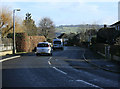
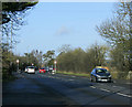
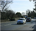
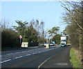
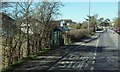
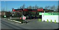
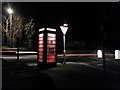
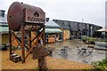
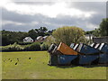
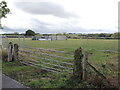
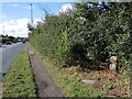
35 photos from this area
Area Information
Key information about the BS31 3DG including its size, population, and administrative classification.
- Area Type
- Postcode
- Area Size
- 1.5 hectares
- Population
- 1413
- Population Density
- 577 people/km²
House Prices in BS31 3DG
7
Properties
£465,000
Average Sold Price
£140,000
Lowest Price
£620,000
Highest Price
Showing 7 properties
| Address | Type | Beds | Baths | Last Sale Price | Last Sale Date | |
|---|---|---|---|---|---|---|
| 435 Bath Road, Saltford, BS31 3DG | Flat | 2 | 1 | £620,000 | Jan 2017 | |
| Kelston View, 429 Bath Road, Saltford, BS31 3DG | house | 4 | - | £485,000 | Jul 2010 | |
| Beech House, 431 Bath Road, Saltford, BS31 3DG | Detached | - | - | £615,000 | Dec 2007 | |
| 437 Bath Road, Saltford, BS31 3DG | Detached | - | - | £140,000 | Jun 1995 | |
| Saltford Grange, Bath Road, Saltford, BS31 3DG | house | 8 | - | - | - | |
| Granny Flat, Saltford Grange, Bath Road, Saltford, BS31 3DG | undefined | - | - | - | - | |
| 433 Bath Road, Saltford, BS31 3DG | Terraced | 2 | - | - | - |
Energy Efficiency in BS31 3DG
Amenities
Schools
| Rank | School | Type | Entry gender | Ages |
|---|
Explore more schools in this area
Go to Schools tabDemographics
Household Size
Two person
most common
Accommodation Type
Houses
most common
Tenure
74
majority
Ethnic Group
White
most common
Religion
N/A
most common
Household Composition
N/A
most common
Age
47
median
Adults (30-64 years)
most common
Household Deprivation
N/A
with no deprivation
NS-SEC
45
in Lower managerial occupations
Explore more demographic insights in this area
Go to Demographics tabPlanning
Planning Constraints
- Flood RiskPremium
- Ramsar Wetland SitesPremium
- Area of Outstanding Natural BeautyPremium
- Protected Nature ReservePremium
- Protected WoodlandPremium