Area Overview for BS30 9DD
Photos of BS30 9DD
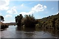
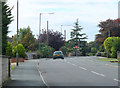
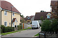
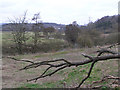
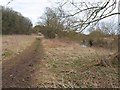
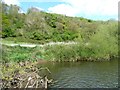
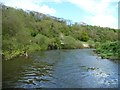
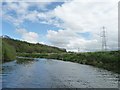
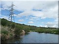
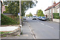
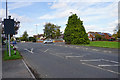
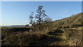
25 photos from this area
Area Information
Key information about the BS30 9DD including its size, population, and administrative classification.
- Area Type
- Postcode
- Area Size
- 3.5 hectares
- Population
- 1667
- Population Density
- 2540 people/km²
House Prices in BS30 9DD
29
Properties
£308,077
Average Sold Price
£64,000
Lowest Price
£735,000
Highest Price
Showing 29 properties
| Address | Type | Beds | Baths | Last Sale Price | Last Sale Date | |
|---|---|---|---|---|---|---|
| 139 Bath Road, Longwell Green, BS30 9DD | Bungalow | 5 | 6 | £735,000 | Nov 2024 | |
| 135 Bath Road, Longwell Green, BS30 9DD | Detached | 4 | 2 | £625,000 | Jan 2023 | |
| 155 Bath Road, Longwell Green, BS30 9DD | Semi-detached | 4 | 2 | £450,000 | Nov 2021 | |
| 125 Bath Road, Longwell Green, BS30 9DD | Terraced | 3 | 1 | £265,000 | Nov 2020 | |
| 161 Bath Road, Longwell Green, BS30 9DD | Detached | 4 | 3 | £455,000 | Jun 2019 | |
| 115 Bath Road, Longwell Green, BS30 9DD | Cottage | 2 | - | £230,000 | May 2019 | |
| 159 Bath Road, Longwell Green, BS30 9DD | Detached | 4 | 1 | £395,000 | Jun 2016 | |
| 127 Bath Road, Longwell Green, BS30 9DD | Terraced | 2 | 1 | £245,000 | Jan 2016 | |
| 117 Bath Road, Longwell Green, BS30 9DD | Cottage | 2 | - | £205,000 | Sep 2013 | |
| 109 Bath Road, Longwell Green, BS30 9DD | Terraced | 2 | 2 | £110,000 | Dec 2001 |
Page 1 of 3
Energy Efficiency in BS30 9DD
Amenities
Schools
| Rank | School | Type | Entry gender | Ages |
|---|
Explore more schools in this area
Go to Schools tabDemographics
Household Size
Two person
most common
Accommodation Type
Houses
most common
Tenure
84
majority
Ethnic Group
White
most common
Religion
N/A
most common
Household Composition
N/A
most common
Age
47
median
Adults (30-64 years)
most common
Household Deprivation
N/A
with no deprivation
NS-SEC
37
in Lower managerial occupations
Explore more demographic insights in this area
Go to Demographics tabPlanning
Planning Constraints
- Flood RiskPremium
- Ramsar Wetland SitesPremium
- Area of Outstanding Natural BeautyPremium
- Protected Nature ReservePremium
- Protected WoodlandPremium