Area Overview for BS30 5SW
Photos of BS30 5SW
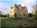
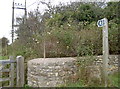
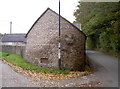
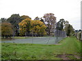
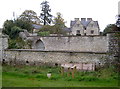
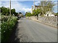
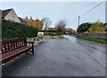
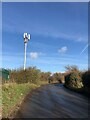
35 photos from this area
Area Information
Key information about the BS30 5SW including its size, population, and administrative classification.
- Area Type
- Postcode
- Area Size
- 19.6 hectares
- Population
- 1605
- Population Density
- 44 people/km²
House Prices in BS30 5SW
11
Properties
£419,000
Average Sold Price
£290,000
Lowest Price
£595,000
Highest Price
Showing 11 properties
| Address | Type | Beds | Baths | Last Sale Price | Last Sale Date | |
|---|---|---|---|---|---|---|
| Lilac Cottage, Bury Lane, Doynton, BS30 5SW | house | - | - | £395,000 | Dec 2022 | |
| Laburnum Cottage, Bury Lane, Doynton, BS30 5SW | house | - | - | £595,000 | Jul 2022 | |
| Greystones, Bury Lane, Doynton, BS30 5SW | Land | - | - | £350,000 | Oct 2013 | |
| Sunnyview, Bury Lane, Doynton, BS30 5SW | Detached | - | - | £465,000 | Jan 2008 | |
| Rosendale, Bury Lane, Doynton, BS30 5SW | Detached | - | - | £290,000 | Jul 2001 | |
| Townsend Farm, Bury Lane, Doynton, BS30 5SW | Detached | 4 | 3 | - | - | |
| Mobile Home, Quarry Farm, Bury Lane, Doynton, BS30 5SW | Mobile Home | - | - | - | - | |
| 4, Bury View, Bury Lane, Doynton, BS30 5SW | house | - | - | - | - | |
| 3, Bury View, Bury Lane, Doynton, BS30 5SW | house | - | - | - | - | |
| 2, Bury View, Bury Lane, Doynton, BS30 5SW | Terraced | - | - | - | - |
Page 1 of 2
Energy Efficiency in BS30 5SW
Amenities
Schools
| Rank | School | Type | Entry gender | Ages |
|---|
Explore more schools in this area
Go to Schools tabDemographics
Household Size
Two person
most common
Accommodation Type
Houses
most common
Tenure
80
majority
Ethnic Group
White
most common
Religion
N/A
most common
Household Composition
N/A
most common
Age
47
median
Adults (30-64 years)
most common
Household Deprivation
N/A
with no deprivation
NS-SEC
40
in Lower managerial occupations
Explore more demographic insights in this area
Go to Demographics tabPlanning
Planning Constraints
- Flood RiskPremium
- Ramsar Wetland SitesPremium
- Area of Outstanding Natural BeautyPremium
- Protected Nature ReservePremium
- Protected WoodlandPremium