Area Overview for BS30 5QL
Photos of BS30 5QL
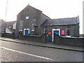
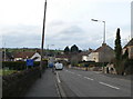
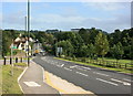
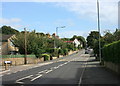
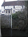
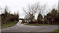
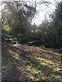
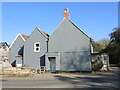
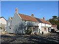
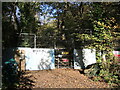
40 photos from this area
Area Information
Key information about the BS30 5QL including its size, population, and administrative classification.
- Area Type
- Postcode
- Area Size
- 2.1 hectares
- Population
- 1239
- Population Density
- 722 people/km²
House Prices in BS30 5QL
27
Properties
£477,091
Average Sold Price
£69,500
Lowest Price
£680,000
Highest Price
Showing 27 properties
| Address | Type | Beds | Baths | Last Sale Price | Last Sale Date | |
|---|---|---|---|---|---|---|
| Bellavista, 4 Church Road, Wick, BS30 5QL | Bungalow | 3 | 1 | £560,000 | May 2024 | |
| 22 Church Road, Wick, BS30 5QL | Detached | 3 | 2 | £380,000 | Nov 2022 | |
| 12 Church Road, Wick, BS30 5QL | house | - | - | £650,000 | Aug 2022 | |
| 18 Church Road, Wick, BS30 5QL | house | - | - | £630,000 | Sep 2019 | |
| 20 Church Road, Wick, BS30 5QL | Detached | 4 | 3 | £610,000 | Aug 2019 | |
| 16 Church Road, Wick, BS30 5QL | house | - | - | £680,000 | Jun 2019 | |
| 14 Church Road, Wick, BS30 5QL | house | - | - | £674,000 | Jun 2019 | |
| 34 Church Road, Wick, BS30 5QL | house | - | - | £282,000 | Apr 2018 | |
| Bienvenue, 6 Church Road, Wick, BS30 5QL | Bungalow | 3 | - | £417,500 | Oct 2014 | |
| 28 Church Road, Wick, BS30 5QL | Semi-detached | 3 | 2 | £295,000 | Nov 2013 |
Page 1 of 3
Energy Efficiency in BS30 5QL
Amenities
Schools
| Rank | School | Type | Entry gender | Ages |
|---|
Explore more schools in this area
Go to Schools tabDemographics
Household Size
Two person
most common
Accommodation Type
Houses
most common
Tenure
80
majority
Ethnic Group
White
most common
Religion
N/A
most common
Household Composition
N/A
most common
Age
47
median
Adults (30-64 years)
most common
Household Deprivation
N/A
with no deprivation
NS-SEC
38
in Lower managerial occupations
Explore more demographic insights in this area
Go to Demographics tabPlanning
Planning Constraints
- Flood RiskPremium
- Ramsar Wetland SitesPremium
- Area of Outstanding Natural BeautyPremium
- Protected Nature ReservePremium
- Protected WoodlandPremium