Area Overview for BS27 3SF
Photos of BS27 3SF
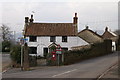
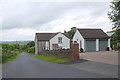
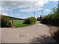
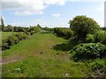
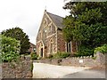
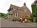
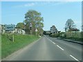
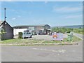
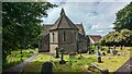
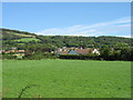
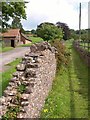
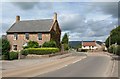
19 photos from this area
Area Information
Key information about the BS27 3SF including its size, population, and administrative classification.
- Area Type
- Postcode
- Area Size
- 1.2 hectares
- Population
- 2006
- Population Density
- 36 people/km²
House Prices in BS27 3SF
11
Properties
£339,875
Average Sold Price
£135,000
Lowest Price
£630,000
Highest Price
Showing 11 properties
| Address | Type | Beds | Baths | Last Sale Price | Last Sale Date | |
|---|---|---|---|---|---|---|
| The Gables, Wells Road, Draycott, Cheddar, BS27 3SF | Semi-detached | 3 | 1 | £430,000 | Jan 2023 | |
| Charter House, Wells Road, Draycott, Cheddar, BS27 3SF | house | - | - | £568,000 | Apr 2022 | |
| Harps House, Wells Road, Draycott, Cheddar, BS27 3SF | house | - | - | £630,000 | Jun 2019 | |
| Holcombe, Wells Road, Draycott, Cheddar, BS27 3SF | Detached | 4 | 2 | £325,000 | Apr 2006 | |
| Villa Westfield, Wells Road, Draycott, Cheddar, BS27 3SF | Detached | - | - | £246,500 | Mar 2005 | |
| Westfield Barn, Wells Road, Draycott, Cheddar, BS27 3SF | Terraced | - | - | £238,000 | Oct 2003 | |
| Rivendell, Wells Road, Draycott, Cheddar, BS27 3SF | Detached | - | - | £135,000 | Dec 1999 | |
| Draycott House, Wells Road, Draycott, Cheddar, BS27 3SF | Detached | 2 | - | £146,500 | Nov 1999 | |
| Millstone House, Wells Road, Draycott, Cheddar, BS27 3SF | Semi-detached | 4 | 3 | - | - | |
| The Barn, Wells Road, Draycott, Cheddar, BS27 3SF | house | - | - | - | - |
Page 1 of 2
Energy Efficiency in BS27 3SF
Amenities
Schools
| Rank | School | Type | Entry gender | Ages |
|---|
Explore more schools in this area
Go to Schools tabDemographics
Household Size
Two person
most common
Accommodation Type
Houses
most common
Tenure
80
majority
Ethnic Group
White
most common
Religion
N/A
most common
Household Composition
N/A
most common
Age
47
median
Adults (30-64 years)
most common
Household Deprivation
N/A
with no deprivation
NS-SEC
41
in Lower managerial occupations
Explore more demographic insights in this area
Go to Demographics tabPlanning
Planning Constraints
- Flood RiskPremium
- Ramsar Wetland SitesPremium
- Area of Outstanding Natural BeautyPremium
- Protected Nature ReservePremium
- Protected WoodlandPremium