Area Overview for BS25 5NL
Photos of BS25 5NL
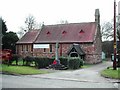
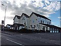
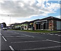
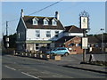
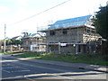
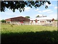
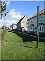
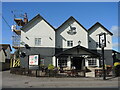
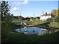
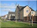
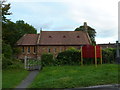
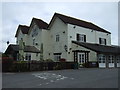
22 photos from this area
Area Information
Key information about the BS25 5NL including its size, population, and administrative classification.
- Area Type
- Postcode
- Area Size
- 4.7 hectares
- Population
- 1440
- Population Density
- 223 people/km²
House Prices in BS25 5NL
18
Properties
£456,333
Average Sold Price
£319,000
Lowest Price
£615,000
Highest Price
Showing 18 properties
| Address | Type | Beds | Baths | Last Sale Price | Last Sale Date | |
|---|---|---|---|---|---|---|
| The Laurels, Bristol Road, Churchill, BS25 5NL | Cottage | 5 | 1 | £615,000 | Aug 2023 | |
| Maytree, Bristol Road, Churchill, BS25 5NL | Detached | 4 | 4 | £560,000 | Jun 2023 | |
| Elmfield Cottage, Bristol Road, Churchill, BS25 5NL | residentialDevelopment | 3 | - | £375,000 | Jul 2019 | |
| Linden Lea, Bristol Road, Churchill, BS25 5NL | Detached | 4 | - | £495,000 | Aug 2018 | |
| Orchard Vale, Bristol Road, Churchill, BS25 5NL | Detached | 4 | 2 | £374,000 | Jun 2015 | |
| Wedgewood, Bristol Road, Churchill, BS25 5NL | Bungalow | 4 | - | £319,000 | Jun 2012 | |
| Winston Manor Cottage, Bristol Road, Churchill, BS25 5NL | house | 17 | 12 | - | - | |
| Benderloch, Dinghurst Road, Churchill, BS25 5NL | Flat | - | - | - | - | |
| Granny Annexe, St Crispin, Bristol Road, Churchill, BS25 5NL | Flat | - | - | - | - | |
| Flat At, Churchill Inn, Bristol Road, Churchill, BS25 5NL | Flat | - | - | - | - |
Page 1 of 2
Energy Efficiency in BS25 5NL
Amenities
Schools
| Rank | School | Type | Entry gender | Ages |
|---|
Explore more schools in this area
Go to Schools tabDemographics
Household Size
Family (3-5 people)
most common
Accommodation Type
Houses
most common
Tenure
86
majority
Ethnic Group
White
most common
Religion
N/A
most common
Household Composition
N/A
most common
Age
47
median
Adults (30-64 years)
most common
Household Deprivation
N/A
with no deprivation
NS-SEC
49
in Lower managerial occupations
Explore more demographic insights in this area
Go to Demographics tabPlanning
Planning Constraints
- Flood RiskPremium
- Ramsar Wetland SitesPremium
- Area of Outstanding Natural BeautyPremium
- Protected Nature ReservePremium
- Protected WoodlandPremium