Area Overview for BS24 9TJ
Photos of BS24 9TJ
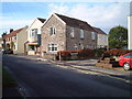
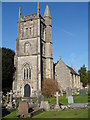
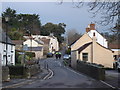
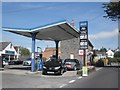
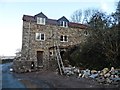
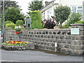
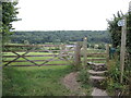
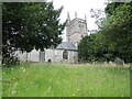
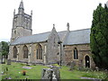
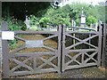
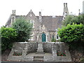
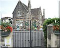
71 photos from this area
Area Information
Key information about the BS24 9TJ including its size, population, and administrative classification.
- Area Type
- Postcode
- Area Size
- 1.0 hectares
- Population
- 1347
- Population Density
- 1220 people/km²
House Prices in BS24 9TJ
28
Properties
£246,694
Average Sold Price
£138,000
Lowest Price
£350,000
Highest Price
Showing 28 properties
| Address | Type | Beds | Baths | Last Sale Price | Last Sale Date | |
|---|---|---|---|---|---|---|
| 13 Willow Drive, Hutton, BS24 9TJ | Semi-detached | 3 | 1 | £240,000 | Mar 2025 | |
| 19 Willow Drive, Hutton, BS24 9TJ | Semi-detached | 3 | - | £290,000 | Mar 2023 | |
| 9 Willow Drive, Hutton, BS24 9TJ | house | 3 | 1 | £272,500 | Dec 2022 | |
| 6 Willow Drive, Hutton, BS24 9TJ | Semi-detached | 3 | 1 | £280,000 | Nov 2022 | |
| 16 Willow Drive, Hutton, BS24 9TJ | Bungalow | 3 | 1 | £340,000 | Nov 2022 | |
| 3 Willow Drive, Hutton, BS24 9TJ | Bungalow | - | - | £225,000 | Jun 2021 | |
| 20 Willow Drive, Hutton, BS24 9TJ | Detached | 4 | 2 | £350,000 | Jul 2019 | |
| 29 Willow Drive, Hutton, BS24 9TJ | Detached | 4 | 2 | £315,000 | Jul 2018 | |
| 2 Willow Drive, Hutton, BS24 9TJ | Semi-detached | 3 | 1 | £210,000 | Jun 2017 | |
| 7 Willow Drive, Hutton, BS24 9TJ | Semi-detached | 2 | 1 | £215,000 | May 2017 |
Page 1 of 3
Energy Efficiency in BS24 9TJ
Amenities
Schools
| Rank | School | Type | Entry gender | Ages |
|---|
Explore more schools in this area
Go to Schools tabDemographics
Household Size
Two person
most common
Accommodation Type
Houses
most common
Tenure
90
majority
Ethnic Group
White
most common
Religion
N/A
most common
Household Composition
N/A
most common
Age
47
median
Elderly (65+ years)
most common
Household Deprivation
N/A
with no deprivation
NS-SEC
32
in Lower managerial occupations
Explore more demographic insights in this area
Go to Demographics tabPlanning
Planning Constraints
- Flood RiskPremium
- Ramsar Wetland SitesPremium
- Area of Outstanding Natural BeautyPremium
- Protected Nature ReservePremium
- Protected WoodlandPremium