Area Overview for BS24 8FR
Photos of BS24 8FR
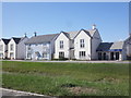
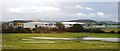
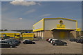

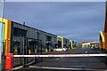
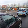
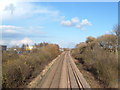
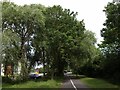
21 photos from this area
Area Information
Key information about the BS24 8FR including its size, population, and administrative classification.
- Area Type
- Postcode
- Area Size
- 3671 m²
- Population
- 2501
- Population Density
- 1541 people/km²
House Prices in BS24 8FR
15
Properties
£251,569
Average Sold Price
£191,000
Lowest Price
£340,000
Highest Price
Showing 15 properties
| Address | Type | Beds | Baths | Last Sale Price | Last Sale Date | |
|---|---|---|---|---|---|---|
| 14 Gnome Road, Weston Super Mare, BS24 8FR | Detached | 4 | 2 | £340,000 | Sep 2025 | |
| 9 Gnome Road, Weston Super Mare, BS24 8FR | house | - | - | £270,000 | Jul 2020 | |
| 16 Gnome Road, Weston Super Mare, BS24 8FR | house | - | - | £290,995 | Jul 2020 | |
| 20 Gnome Road, Weston Super Mare, BS24 8FR | house | - | - | £235,995 | Jun 2020 | |
| 18 Gnome Road, Weston Super Mare, BS24 8FR | house | - | - | £234,995 | May 2020 | |
| 3 Gnome Road, Weston Super Mare, BS24 8FR | house | - | - | £191,000 | Mar 2020 | |
| 7 Gnome Road, Weston Super Mare, BS24 8FR | house | - | - | £197,995 | Mar 2020 | |
| 2 Gnome Road, Weston Super Mare, BS24 8FR | Retail | 3 | 2 | - | - | |
| 8 Gnome Road, Weston Super Mare, BS24 8FR | house | - | - | - | - | |
| 5 Gnome Road, Weston Super Mare, BS24 8FR | house | - | - | - | - |
Page 1 of 2
Energy Efficiency in BS24 8FR
Amenities
Schools
| Rank | School | Type | Entry gender | Ages |
|---|
Explore more schools in this area
Go to Schools tabDemographics
Household Size
Family (3-5 people)
most common
Accommodation Type
Houses
most common
Tenure
82
majority
Ethnic Group
White
most common
Religion
N/A
most common
Household Composition
N/A
most common
Age
22
median
Adults (30-64 years)
most common
Household Deprivation
N/A
with no deprivation
NS-SEC
35
in Lower managerial occupations
Explore more demographic insights in this area
Go to Demographics tabPlanning
Planning Constraints
- Flood RiskPremium
- Ramsar Wetland SitesPremium
- Area of Outstanding Natural BeautyPremium
- Protected Nature ReservePremium
- Protected WoodlandPremium