Area Overview for BS24 6TP
Photos of BS24 6TP
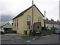
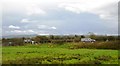
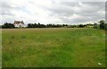
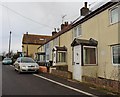
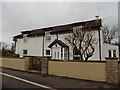
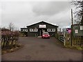

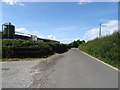
28 photos from this area
Area Information
Key information about the BS24 6TP including its size, population, and administrative classification.
- Area Type
- Postcode
- Area Size
- 13.7 hectares
- Population
- 1767
- Population Density
- 123 people/km²
House Prices in BS24 6TP
9
Properties
£107,500
Average Sold Price
£70,000
Lowest Price
£145,000
Highest Price
Showing 9 properties
| Address | Type | Beds | Baths | Last Sale Price | Last Sale Date | |
|---|---|---|---|---|---|---|
| Clover Cottage, Maysgreen Lane, Hewish, BS24 6TP | Bungalow | - | - | £70,000 | Nov 2016 | |
| Maysgreen Barn, Maysgreen Lane, Hewish, BS24 6TP | Detached | - | - | £145,000 | Aug 1997 | |
| Puxton Court Farm, Maysgreen Lane, Hewish, BS24 6TP | house | 7 | 2 | - | - | |
| Annexe At, Maysgreen Barn, Maysgreen Lane, Hewish, BS24 6TP | Detached | - | - | - | - | |
| Homefield Cottage, Maysgreen Lane, Hewish, BS24 6TP | Detached | - | - | - | - | |
| Puxton Court Farm Apartment, Maysgreen Lane, Hewish, BS24 6TP | house | - | - | - | - | |
| Puxton Court Farm Studio, Maysgreen Lane, Hewish, BS24 6TP | Flat | - | - | - | - | |
| Sunnyside, Maysgreen Lane, Hewish, BS24 6TP | Bungalow | - | - | - | - | |
| Grange Farm, Maysgreen Lane, Hewish, BS24 6TP | house | - | - | - | - |
Energy Efficiency in BS24 6TP
Amenities
Schools
| Rank | School | Type | Entry gender | Ages |
|---|
Explore more schools in this area
Go to Schools tabDemographics
Household Size
Family (3-5 people)
most common
Accommodation Type
Houses
most common
Tenure
79
majority
Ethnic Group
White
most common
Religion
N/A
most common
Household Composition
N/A
most common
Age
47
median
Adults (30-64 years)
most common
Household Deprivation
N/A
with no deprivation
NS-SEC
39
in Lower managerial occupations
Explore more demographic insights in this area
Go to Demographics tabPlanning
Planning Constraints
- Flood RiskPremium
- Ramsar Wetland SitesPremium
- Area of Outstanding Natural BeautyPremium
- Protected Nature ReservePremium
- Protected WoodlandPremium