Area Overview for BS21 7HP
Photos of BS21 7HP
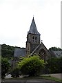
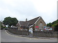
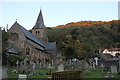
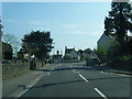
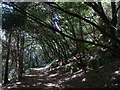
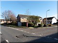
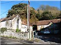
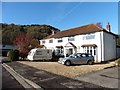
84 photos from this area
Area Information
Key information about the BS21 7HP including its size, population, and administrative classification.
- Area Type
- Postcode
- Area Size
- 5530 m²
- Population
- Not available
- Population Density
- Not available
House Prices in BS21 7HP
9
Properties
£414,113
Average Sold Price
£257,950
Lowest Price
£572,500
Highest Price
Showing 9 properties
| Address | Type | Beds | Baths | Last Sale Price | Last Sale Date | |
|---|---|---|---|---|---|---|
| 47 Esmond Grove, Clevedon, BS21 7HP | house | - | - | £572,500 | Nov 2021 | |
| 44 Esmond Grove, Clevedon, BS21 7HP | house | - | - | £459,950 | Nov 2020 | |
| 43 Esmond Grove, Clevedon, BS21 7HP | house | - | - | £410,000 | Sep 2019 | |
| 42 Esmond Grove, Clevedon, BS21 7HP | Semi-detached | 3 | 1 | £352,500 | Feb 2018 | |
| 49 Esmond Grove, Clevedon, BS21 7HP | house | - | - | £550,000 | Oct 2016 | |
| 41 Esmond Grove, Clevedon, BS21 7HP | Semi-detached | 4 | - | £395,000 | Sep 2016 | |
| 40 Esmond Grove, Clevedon, BS21 7HP | Bungalow | - | - | £257,950 | Apr 2014 | |
| 45 Esmond Grove, Clevedon, BS21 7HP | Detached | - | - | £315,000 | Dec 2005 | |
| Club House, Esmond Grove, Clevedon, BS21 7HP | pub | - | - | - | - |
Energy Efficiency in BS21 7HP
Amenities
Schools
| Rank | School | Type | Entry gender | Ages |
|---|
Explore more schools in this area
Go to Schools tabDemographics
Household Size
Two person
most common
Accommodation Type
Houses
most common
Tenure
92
majority
Ethnic Group
White
most common
Religion
N/A
most common
Household Composition
N/A
most common
Age
47
median
Adults (30-64 years)
most common
Household Deprivation
N/A
with no deprivation
NS-SEC
54
in Lower managerial occupations
Explore more demographic insights in this area
Go to Demographics tabPlanning
Planning Constraints
- Flood RiskPremium
- Ramsar Wetland SitesPremium
- Area of Outstanding Natural BeautyPremium
- Protected Nature ReservePremium
- Protected WoodlandPremium