Area Overview for BS21 7AP
Photos of BS21 7AP
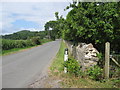
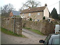
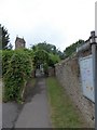
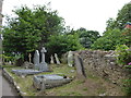
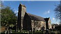
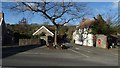
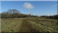
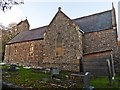
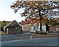
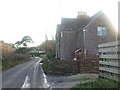
58 photos from this area
Area Information
Key information about the BS21 7AP including its size, population, and administrative classification.
- Area Type
- Postcode
- Area Size
- 31.4 hectares
- Population
- 1901
- Population Density
- 96 people/km²
House Prices in BS21 7AP
11
Properties
£688,571
Average Sold Price
£360,000
Lowest Price
£1,200,000
Highest Price
Showing 11 properties
| Address | Type | Beds | Baths | Last Sale Price | Last Sale Date | |
|---|---|---|---|---|---|---|
| Parsonage Hayes, Walton Street, Walton In Gordano, BS21 7AP | Detached | 4 | 2 | £1,200,000 | May 2023 | |
| Orchard Lea, Walton Street, Walton In Gordano, BS21 7AP | Bungalow | 4 | 2 | £670,000 | Mar 2023 | |
| Taggart House, Walton Street, Walton In Gordano, BS21 7AP | Bungalow | 4 | 4 | £1,090,000 | Mar 2022 | |
| Springhead Cottage, Walton Street, Walton In Gordano, BS21 7AP | house | - | - | £525,000 | Dec 2019 | |
| Brook Cottage, Walton Street, Walton In Gordano, BS21 7AP | house | 3 | - | £360,000 | Jun 2010 | |
| Sunnybank, Walton Street, Walton In Gordano, BS21 7AP | Detached | 7 | 3 | £485,000 | Oct 2009 | |
| Old Post Office, Walton Street, Walton In Gordano, BS21 7AP | Detached | - | - | £490,000 | Aug 2006 | |
| Sylvan Lea, Walton Street, Walton In Gordano, BS21 7AP | Retail | 4 | 2 | - | - | |
| Stable, Walton Street, Walton In Gordano, BS21 7AP | Farm | - | - | - | - | |
| Hill Cottage, Walton Street, Walton In Gordano, BS21 7AP | house | - | - | - | - |
Page 1 of 2
Energy Efficiency in BS21 7AP
Amenities
Schools
| Rank | School | Type | Entry gender | Ages |
|---|
Explore more schools in this area
Go to Schools tabDemographics
Household Size
Two person
most common
Accommodation Type
Houses
most common
Tenure
88
majority
Ethnic Group
White
most common
Religion
N/A
most common
Household Composition
N/A
most common
Age
47
median
Adults (30-64 years)
most common
Household Deprivation
N/A
with no deprivation
NS-SEC
43
in Lower managerial occupations
Explore more demographic insights in this area
Go to Demographics tabPlanning
Planning Constraints
- Flood RiskPremium
- Ramsar Wetland SitesPremium
- Area of Outstanding Natural BeautyPremium
- Protected Nature ReservePremium
- Protected WoodlandPremium