Area Overview for BS21 6XQ
Photos of BS21 6XQ

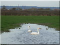
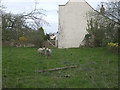
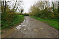
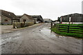
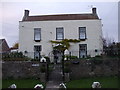
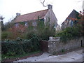
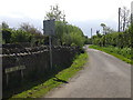
23 photos from this area
Area Information
Key information about the BS21 6XQ including its size, population, and administrative classification.
- Area Type
- Postcode
- Area Size
- 59.6 hectares
- Population
- 1732
- Population Density
- 91 people/km²
House Prices in BS21 6XQ
12
Properties
£513,750
Average Sold Price
£60,000
Lowest Price
£1,300,000
Highest Price
Showing 12 properties
| Address | Type | Beds | Baths | Last Sale Price | Last Sale Date | |
|---|---|---|---|---|---|---|
| Moorside Cottage, Ham Lane, Kingston Seymour, BS21 6XQ | house | - | - | £490,000 | Jun 2022 | |
| Moorside Farm, Ham Lane, Kingston Seymour, BS21 6XQ | house | 6 | 3 | £1,300,000 | Apr 2022 | |
| The Willows, Ham Lane, Kingston Seymour, BS21 6XQ | Detached | 4 | 3 | £325,000 | Feb 2018 | |
| Trap House, Ham Lane, Kingston Seymour, BS21 6XQ | Detached | 3 | 2 | £467,500 | Oct 2013 | |
| Lodge Holding, Ham Lane, Kingston Seymour, BS21 6XQ | Detached | - | - | £60,000 | Jul 2010 | |
| Kingston House, Ham Lane, Kingston Seymour, BS21 6XQ | Detached | 5 | 2 | £440,000 | Dec 2003 | |
| Plentys Farm, Ham Lane, Kingston Seymour, BS21 6XQ | Detached | 4 | 3 | - | - | |
| 1, South House, Ham Lane, Kingston Seymour, BS21 6XQ | Semi-detached | 4 | 2 | - | - | |
| The Orchard, Ham Lane, Kingston Seymour, BS21 6XQ | Detached | - | - | - | - | |
| Gout House Farm, Ham Lane, Kingston Seymour, BS21 6XQ | Bungalow | - | - | - | - |
Page 1 of 2
Energy Efficiency in BS21 6XQ
Amenities
Schools
| Rank | School | Type | Entry gender | Ages |
|---|
Explore more schools in this area
Go to Schools tabDemographics
Household Size
Two person
most common
Accommodation Type
Houses
most common
Tenure
78
majority
Ethnic Group
White
most common
Religion
N/A
most common
Household Composition
N/A
most common
Age
47
median
Adults (30-64 years)
most common
Household Deprivation
N/A
with no deprivation
NS-SEC
38
in Lower managerial occupations
Explore more demographic insights in this area
Go to Demographics tabPlanning
Planning Constraints
- Flood RiskPremium
- Ramsar Wetland SitesPremium
- Area of Outstanding Natural BeautyPremium
- Protected Nature ReservePremium
- Protected WoodlandPremium