Area Overview for BS20 7DY
Photos of BS20 7DY
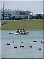
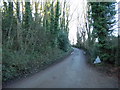
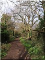
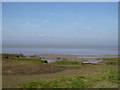
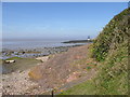
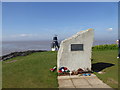
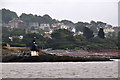

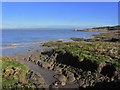


100 photos from this area
Area Information
Key information about the BS20 7DY including its size, population, and administrative classification.
- Area Type
- Postcode
- Area Size
- 9845 m²
- Population
- 1572
- Population Density
- 2005 people/km²
House Prices in BS20 7DY
20
Properties
£252,643
Average Sold Price
£125,000
Lowest Price
£375,000
Highest Price
Showing 20 properties
| Address | Type | Beds | Baths | Last Sale Price | Last Sale Date | |
|---|---|---|---|---|---|---|
| 74 South Road, Portishead, BS20 7DY | Semi-detached | 3 | 1 | £375,000 | Jun 2022 | |
| 78 South Road, Portishead, BS20 7DY | Semi-detached | 3 | 1 | £332,000 | Feb 2021 | |
| 80 South Road, Portishead, BS20 7DY | Semi-detached | 4 | 2 | £340,000 | Jul 2020 | |
| 82 South Road, Portishead, BS20 7DY | Semi-detached | 3 | 1 | £274,500 | Apr 2018 | |
| 76 South Road, Portishead, BS20 7DY | Semi-detached | 4 | 2 | £178,000 | Jan 2008 | |
| 71 South Road, Portishead, BS20 7DY | house | - | - | £144,000 | Jun 1998 | |
| Redlees, 67 South Road, Portishead, BS20 7DY | Detached | - | - | £125,000 | Jul 1997 | |
| Oak Green, 65 South Road, Portishead, BS20 7DY | Semi-detached | 3 | 1 | - | - | |
| 69 South Road, Portishead, BS20 7DY | Bungalow | 4 | 1 | - | - | |
| 68 South Road, Portishead, BS20 7DY | house | - | - | - | - |
Page 1 of 2
Energy Efficiency in BS20 7DY
Amenities
Schools
| Rank | School | Type | Entry gender | Ages |
|---|
Explore more schools in this area
Go to Schools tabDemographics
Household Size
Two person
most common
Accommodation Type
Houses
most common
Tenure
84
majority
Ethnic Group
White
most common
Religion
N/A
most common
Household Composition
N/A
most common
Age
47
median
Adults (30-64 years)
most common
Household Deprivation
N/A
with no deprivation
NS-SEC
49
in Lower managerial occupations
Explore more demographic insights in this area
Go to Demographics tabPlanning
Planning Constraints
- Flood RiskPremium
- Ramsar Wetland SitesPremium
- Area of Outstanding Natural BeautyPremium
- Protected Nature ReservePremium
- Protected WoodlandPremium