Area Overview for BS20 7AD
Photos of BS20 7AD
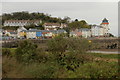
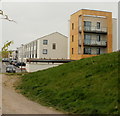
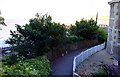
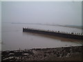
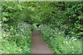
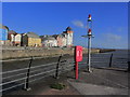
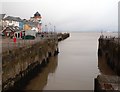
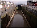
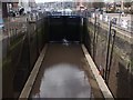
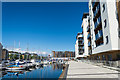
100 photos from this area
Area Information
Key information about the BS20 7AD including its size, population, and administrative classification.
- Area Type
- Postcode
- Area Size
- 1.2 hectares
- Population
- 1607
- Population Density
- 9018 people/km²
House Prices in BS20 7AD
48
Properties
£289,748
Average Sold Price
£91,000
Lowest Price
£570,000
Highest Price
Showing 48 properties
| Address | Type | Beds | Baths | Last Sale Price | Last Sale Date | |
|---|---|---|---|---|---|---|
| 97 Eastcliff, Portishead, BS20 7AD | Terraced | 2 | 1 | £300,000 | Aug 2025 | |
| 75 Eastcliff, Portishead, BS20 7AD | Terraced | 4 | 2 | £570,000 | Jul 2025 | |
| 123 Eastcliff, Portishead, BS20 7AD | Semi-detached | 3 | 1 | £410,000 | Jul 2023 | |
| 101 Eastcliff, Portishead, BS20 7AD | Terraced | 2 | 1 | £300,000 | Apr 2023 | |
| 103 Eastcliff, Portishead, BS20 7AD | Retail | 2 | 1 | £290,000 | Oct 2022 | |
| 63 Eastcliff, Portishead, BS20 7AD | Terraced | 2 | 1 | £410,000 | Aug 2022 | |
| 91 Eastcliff, Portishead, BS20 7AD | Retail | 2 | 1 | £348,000 | May 2022 | |
| 74 Eastcliff, Portishead, BS20 7AD | house | 3 | 2 | £475,000 | Feb 2022 | |
| 65 Eastcliff, Portishead, BS20 7AD | Terraced | 3 | 1 | £350,000 | Jun 2021 | |
| 68 Eastcliff, Portishead, BS20 7AD | Flat | 2 | 1 | £216,000 | Aug 2019 |
Page 1 of 5
Energy Efficiency in BS20 7AD
Amenities
Schools
| Rank | School | Type | Entry gender | Ages |
|---|
Explore more schools in this area
Go to Schools tabDemographics
Household Size
Two person
most common
Accommodation Type
Houses
most common
Tenure
62
majority
Ethnic Group
White
most common
Religion
N/A
most common
Household Composition
N/A
most common
Age
47
median
Adults (30-64 years)
most common
Household Deprivation
N/A
with no deprivation
NS-SEC
49
in Lower managerial occupations
Explore more demographic insights in this area
Go to Demographics tabPlanning
Planning Constraints
- Flood RiskPremium
- Ramsar Wetland SitesPremium
- Area of Outstanding Natural BeautyPremium
- Protected Nature ReservePremium
- Protected WoodlandPremium