Area Overview for BS20 6LN
Photos of BS20 6LN
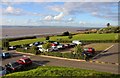
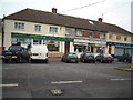
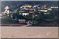
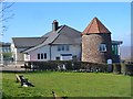
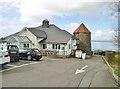
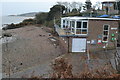
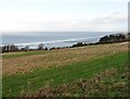
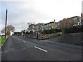
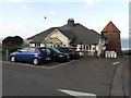
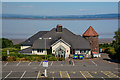
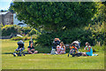
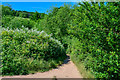
44 photos from this area
Area Information
Key information about the BS20 6LN including its size, population, and administrative classification.
- Area Type
- Postcode
- Area Size
- 1.4 hectares
- Population
- 1814
- Population Density
- 3560 people/km²
House Prices in BS20 6LN
26
Properties
£230,646
Average Sold Price
£40,000
Lowest Price
£575,000
Highest Price
Showing 26 properties
| Address | Type | Beds | Baths | Last Sale Price | Last Sale Date | |
|---|---|---|---|---|---|---|
| 38 West Hill, Portishead, BS20 6LN | house | - | - | £575,000 | Sep 2021 | |
| 89 West Hill, Portishead, BS20 6LN | Semi-detached | 3 | 2 | £315,000 | Jun 2021 | |
| 40 West Hill, Portishead, BS20 6LN | Detached | 3 | 2 | £378,000 | Nov 2017 | |
| 91 West Hill, Portishead, BS20 6LN | Semi-detached | 3 | - | £225,000 | Jan 2013 | |
| 99 West Hill, Portishead, BS20 6LN | Semi-detached | - | - | £160,000 | Apr 2012 | |
| 101 West Hill, Portishead, BS20 6LN | Semi-detached | 3 | 1 | £205,100 | May 2007 | |
| 42 West Hill, Portishead, BS20 6LN | Bungalow | 3 | - | £245,000 | Mar 2007 | |
| 36 West Hill, Portishead, BS20 6LN | Semi-detached | - | - | £224,000 | Apr 2002 | |
| 103 West Hill, Portishead, BS20 6LN | Detached | - | - | £121,000 | Mar 1997 | |
| 34 West Hill, Portishead, BS20 6LN | Detached | - | - | £155,650 | Jun 1996 |
Page 1 of 3
Energy Efficiency in BS20 6LN
Amenities
Schools
| Rank | School | Type | Entry gender | Ages |
|---|
Explore more schools in this area
Go to Schools tabDemographics
Household Size
Two person
most common
Accommodation Type
Houses
most common
Tenure
71
majority
Ethnic Group
White
most common
Religion
N/A
most common
Household Composition
N/A
most common
Age
47
median
Adults (30-64 years)
most common
Household Deprivation
N/A
with no deprivation
NS-SEC
39
in Lower managerial occupations
Explore more demographic insights in this area
Go to Demographics tabPlanning
Planning Constraints
- Flood RiskPremium
- Ramsar Wetland SitesPremium
- Area of Outstanding Natural BeautyPremium
- Protected Nature ReservePremium
- Protected WoodlandPremium