Area Overview for BS20 6LG
Photos of BS20 6LG
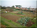
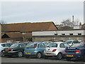
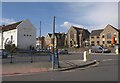
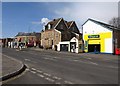
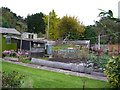
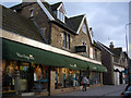
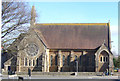
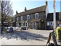
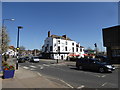
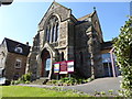
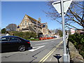
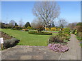
100 photos from this area
Area Information
Key information about the BS20 6LG including its size, population, and administrative classification.
- Area Type
- Postcode
- Area Size
- 2.6 hectares
- Population
- 1814
- Population Density
- 3560 people/km²
House Prices in BS20 6LG
38
Properties
£317,950
Average Sold Price
£59,950
Lowest Price
£605,000
Highest Price
Showing 38 properties
| Address | Type | Beds | Baths | Last Sale Price | Last Sale Date | |
|---|---|---|---|---|---|---|
| 43 West Hill, Portishead, BS20 6LG | Semi-detached | 3 | 2 | £450,000 | Dec 2025 | |
| 69 West Hill, Portishead, BS20 6LG | Detached | 3 | 1 | £485,000 | Mar 2025 | |
| 65 West Hill, Portishead, BS20 6LG | Retail | 3 | 2 | £375,000 | May 2024 | |
| 37 West Hill, Portishead, BS20 6LG | Terraced | 3 | 2 | £425,000 | Sep 2023 | |
| 49A West Hill, Portishead, BS20 6LG | Semi-detached | 2 | 1 | £260,000 | Feb 2023 | |
| 47 West Hill, Portishead, BS20 6LG | Cottage | 3 | 2 | £535,000 | Aug 2020 | |
| 51 West Hill, Portishead, BS20 6LG | Detached | 2 | 1 | £259,000 | Aug 2020 | |
| 35 West Hill, Portishead, BS20 6LG | Terraced | 3 | 2 | £465,000 | Dec 2018 | |
| 33 West Hill, Portishead, BS20 6LG | Cottage | 3 | 2 | £385,000 | Nov 2018 | |
| 63 West Hill, Portishead, BS20 6LG | Detached | 5 | 2 | £605,000 | Dec 2016 |
Page 1 of 4
Energy Efficiency in BS20 6LG
Amenities
Schools
| Rank | School | Type | Entry gender | Ages |
|---|
Explore more schools in this area
Go to Schools tabDemographics
Household Size
Two person
most common
Accommodation Type
Houses
most common
Tenure
71
majority
Ethnic Group
White
most common
Religion
N/A
most common
Household Composition
N/A
most common
Age
47
median
Adults (30-64 years)
most common
Household Deprivation
N/A
with no deprivation
NS-SEC
39
in Lower managerial occupations
Explore more demographic insights in this area
Go to Demographics tabPlanning
Planning Constraints
- Flood RiskPremium
- Ramsar Wetland SitesPremium
- Area of Outstanding Natural BeautyPremium
- Protected Nature ReservePremium
- Protected WoodlandPremium