Area Overview for BS2 9XB
Photos of BS2 9XB
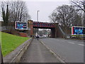
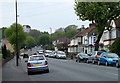
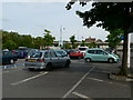
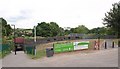
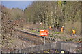

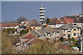
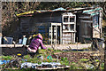
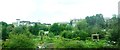
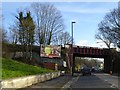
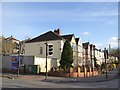
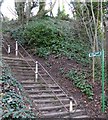
97 photos from this area
Area Information
Key information about the BS2 9XB including its size, population, and administrative classification.
- Area Type
- Postcode
- Area Size
- 3.2 hectares
- Population
- 2200
- Population Density
- 2856 people/km²
House Prices in BS2 9XB
43
Properties
£291,370
Average Sold Price
£69,950
Lowest Price
£575,000
Highest Price
Showing 43 properties
| Address | Type | Beds | Baths | Last Sale Price | Last Sale Date | |
|---|---|---|---|---|---|---|
| 25 Narroways Road, Eastville, Bristol, BS2 9XB | Terraced | 2 | 1 | £346,000 | Mar 2025 | |
| 1A Narroways Road, Eastville, Bristol, BS2 9XB | Terraced | 4 | 1 | £575,000 | Mar 2025 | |
| 1 Narroways Road, Eastville, Bristol, BS2 9XB | Terraced | 3 | 1 | £409,000 | Mar 2025 | |
| 5 Narroways Road, Eastville, Bristol, BS2 9XB | Terraced | 3 | 1 | £520,000 | Feb 2025 | |
| 32 Narroways Road, Eastville, Bristol, BS2 9XB | Terraced | 4 | 1 | £436,500 | Nov 2024 | |
| 4 Narroways Road, Eastville, Bristol, BS2 9XB | Terraced | 2 | 1 | £388,000 | Jun 2023 | |
| 7 Narroways Road, Eastville, Bristol, BS2 9XB | house | - | - | £520,000 | Sep 2021 | |
| 21 Narroways Road, Eastville, Bristol, BS2 9XB | Terraced | 3 | 2 | £485,000 | Aug 2019 | |
| 20 Narroways Road, Eastville, Bristol, BS2 9XB | Terraced | 2 | 1 | £362,500 | Aug 2018 | |
| 33 Narroways Road, Eastville, Bristol, BS2 9XB | house | - | - | £295,000 | May 2017 |
Page 1 of 5
Energy Efficiency in BS2 9XB
Amenities
Schools
| Rank | School | Type | Entry gender | Ages |
|---|
Explore more schools in this area
Go to Schools tabDemographics
Household Size
Family (3-5 people)
most common
Accommodation Type
Houses
most common
Tenure
73
majority
Ethnic Group
White
most common
Religion
N/A
most common
Household Composition
N/A
most common
Age
47
median
Adults (30-64 years)
most common
Household Deprivation
N/A
with no deprivation
NS-SEC
32
in Lower managerial occupations
Explore more demographic insights in this area
Go to Demographics tabPlanning
Planning Constraints
- Flood RiskPremium
- Ramsar Wetland SitesPremium
- Area of Outstanding Natural BeautyPremium
- Protected Nature ReservePremium
- Protected WoodlandPremium