Area Overview for BS2 8DT
Photos of BS2 8DT
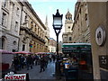
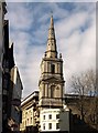
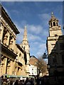
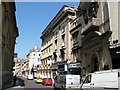
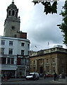
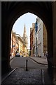
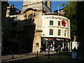
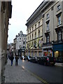
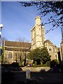
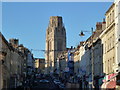
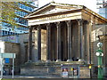
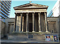
100 photos from this area
Area Information
Key information about the BS2 8DT including its size, population, and administrative classification.
- Area Type
- Postcode
- Area Size
- 2782 m²
- Population
- 2386
- Population Density
- 7935 people/km²
House Prices in BS2 8DT
8
Properties
£349,250
Average Sold Price
£125,000
Lowest Price
£475,000
Highest Price
Showing 8 properties
| Address | Type | Beds | Baths | Last Sale Price | Last Sale Date | |
|---|---|---|---|---|---|---|
| 8 St Michaels Hill, Kingsdown, Bristol, BS2 8DT | house | - | - | £475,000 | Aug 2025 | |
| 16 St Michaels Hill, Kingsdown, Bristol, BS2 8DT | Terraced | 5 | 2 | £450,000 | May 2021 | |
| 10 St Michaels Hill, Kingsdown, Bristol, BS2 8DT | Semi-detached | 5 | 1 | £347,000 | Jan 2008 | |
| 12 St Michaels Hill, Kingsdown, Bristol, BS2 8DT | Terraced | 2 | 2 | £125,000 | Oct 1999 | |
| Flat, 14 St Michaels Hill, Kingsdown, Bristol, BS2 8DT | Flat | 4 | 2 | - | - | |
| King David Residence, Upper Maudlin Street, City Centre, Bristol, BS2 8DT | hotel | - | - | - | - | |
| 4 St Michaels Hill, Kingsdown, Bristol, BS2 8DT | house | - | - | - | - | |
| First Floor Flat, 32 Upper Maudlin Street, City Centre, Bristol, BS2 8DT | Flat | - | - | - | - |
Energy Efficiency in BS2 8DT
Amenities
Schools
| Rank | School | Type | Entry gender | Ages |
|---|
Explore more schools in this area
Go to Schools tabDemographics
Household Size
One person
most common
Accommodation Type
Flats
most common
Tenure
26
majority
Ethnic Group
White
most common
Religion
N/A
most common
Household Composition
N/A
most common
Age
22
median
Young Adults (15-29 years)
most common
Household Deprivation
N/A
with no deprivation
NS-SEC
16
in Lower managerial occupations
Explore more demographic insights in this area
Go to Demographics tabPlanning
Planning Constraints
- Flood RiskPremium
- Ramsar Wetland SitesPremium
- Area of Outstanding Natural BeautyPremium
- Protected Nature ReservePremium
- Protected WoodlandPremium