Area Overview for BS16 9RD
Photos of BS16 9RD
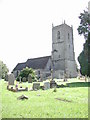
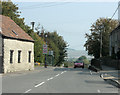
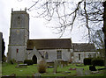
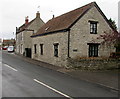
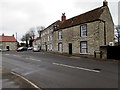
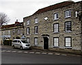
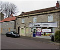
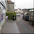
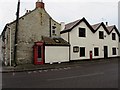
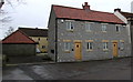
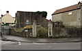
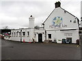
100 photos from this area
Area Information
Key information about the BS16 9RD including its size, population, and administrative classification.
- Area Type
- Postcode
- Area Size
- 2.6 hectares
- Population
- 1629
- Population Density
- 1126 people/km²
House Prices in BS16 9RD
18
Properties
£514,439
Average Sold Price
£265,000
Lowest Price
£800,000
Highest Price
Showing 18 properties
| Address | Type | Beds | Baths | Last Sale Price | Last Sale Date | |
|---|---|---|---|---|---|---|
| Brimstones, 22 Westerleigh Road, Pucklechurch, BS16 9RD | Semi-detached | 3 | 1 | £700,000 | Nov 2023 | |
| Old Court Barn, Westerleigh Road, Pucklechurch, BS16 9RD | Semi-detached | 4 | 2 | £735,000 | Sep 2023 | |
| 45-47 Westerleigh Road, Pucklechurch, BS16 9RD | Cottage | 4 | 2 | £315,000 | Dec 2018 | |
| Pucklechurch House, 35 Westerleigh Road, Pucklechurch, BS16 9RD | house | - | - | £800,000 | Sep 2018 | |
| The Long Barn, Westerleigh Road, Pucklechurch, BS16 9RD | Semi-detached | 3 | - | £549,950 | Apr 2018 | |
| Little House, Westerleigh Road, Pucklechurch, BS16 9RD | Detached | 2 | 1 | £265,000 | Dec 2015 | |
| Russet House, 41 Westerleigh Road, Pucklechurch, BS16 9RD | Detached | 5 | 3 | £470,000 | Dec 2015 | |
| Lambourne House, 39 Westerleigh Road, Pucklechurch, BS16 9RD | Detached | - | - | £530,000 | Apr 2008 | |
| Fig Tree Cottage, 33 Westerleigh Road, Pucklechurch, BS16 9RD | Detached | 4 | - | £265,000 | Nov 2001 | |
| Court Farm, 49 Westerleigh Road, Pucklechurch, BS16 9RD | Detached | 5 | 3 | - | - |
Page 1 of 2
Energy Efficiency in BS16 9RD
Amenities
Schools
| Rank | School | Type | Entry gender | Ages |
|---|
Explore more schools in this area
Go to Schools tabDemographics
Household Size
Two person
most common
Accommodation Type
Houses
most common
Tenure
75
majority
Ethnic Group
White
most common
Religion
N/A
most common
Household Composition
N/A
most common
Age
47
median
Adults (30-64 years)
most common
Household Deprivation
N/A
with no deprivation
NS-SEC
31
in Lower managerial occupations
Explore more demographic insights in this area
Go to Demographics tabPlanning
Planning Constraints
- Flood RiskPremium
- Ramsar Wetland SitesPremium
- Area of Outstanding Natural BeautyPremium
- Protected Nature ReservePremium
- Protected WoodlandPremium