Area Overview for BS16 9BU
Photos of BS16 9BU
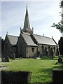
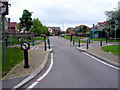
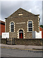
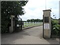
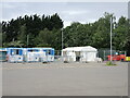
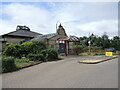
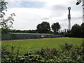
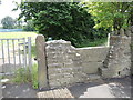
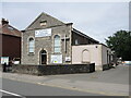
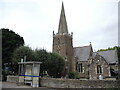
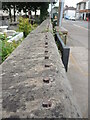
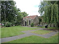
48 photos from this area
Area Information
Key information about the BS16 9BU including its size, population, and administrative classification.
- Area Type
- Postcode
- Area Size
- 5395 m²
- Population
- 1609
- Population Density
- 5293 people/km²
House Prices in BS16 9BU
17
Properties
£179,750
Average Sold Price
£54,000
Lowest Price
£349,500
Highest Price
Showing 17 properties
| Address | Type | Beds | Baths | Last Sale Price | Last Sale Date | |
|---|---|---|---|---|---|---|
| 56 The Laurels, Mangotsfield, BS16 9BU | Semi-detached | 3 | 1 | £305,000 | Nov 2024 | |
| 48 The Laurels, Mangotsfield, BS16 9BU | Terraced | 3 | 1 | £349,500 | Jan 2023 | |
| 55 The Laurels, Mangotsfield, BS16 9BU | house | 3 | 1 | £240,000 | Mar 2018 | |
| 50 The Laurels, Mangotsfield, BS16 9BU | Terraced | 3 | 1 | £180,000 | Oct 2016 | |
| 59 The Laurels, Mangotsfield, BS16 9BU | house | 3 | - | £215,000 | Jun 2014 | |
| 46 The Laurels, Mangotsfield, BS16 9BU | Terraced | 3 | - | £159,500 | Aug 2013 | |
| 62 The Laurels, Mangotsfield, BS16 9BU | Terraced | - | - | £167,000 | Aug 2008 | |
| 58 The Laurels, Mangotsfield, BS16 9BU | Semi-detached | - | - | £152,500 | Jul 2008 | |
| 47 The Laurels, Mangotsfield, BS16 9BU | Terraced | 3 | - | £138,000 | Feb 2006 | |
| 57 The Laurels, Mangotsfield, BS16 9BU | Semi-detached | - | - | £98,000 | Nov 2001 |
Page 1 of 2
Energy Efficiency in BS16 9BU
Amenities
Schools
| Rank | School | Type | Entry gender | Ages |
|---|
Explore more schools in this area
Go to Schools tabDemographics
Household Size
Family (3-5 people)
most common
Accommodation Type
Houses
most common
Tenure
86
majority
Ethnic Group
White
most common
Religion
N/A
most common
Household Composition
N/A
most common
Age
47
median
Adults (30-64 years)
most common
Household Deprivation
N/A
with no deprivation
NS-SEC
39
in Lower managerial occupations
Explore more demographic insights in this area
Go to Demographics tabPlanning
Planning Constraints
- Flood RiskPremium
- Ramsar Wetland SitesPremium
- Area of Outstanding Natural BeautyPremium
- Protected Nature ReservePremium
- Protected WoodlandPremium