Area Overview for BS14 8NJ
Photos of BS14 8NJ
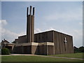
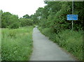
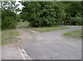
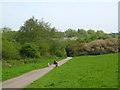
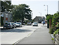
90 photos from this area
Area Information
Key information about the BS14 8NJ including its size, population, and administrative classification.
- Area Type
- Postcode
- Area Size
- 5302 m²
- Population
- Not available
- Population Density
- Not available
House Prices in BS14 8NJ
16
Properties
£198,995
Average Sold Price
£60,000
Lowest Price
£378,000
Highest Price
Showing 16 properties
| Address | Type | Beds | Baths | Last Sale Price | Last Sale Date | |
|---|---|---|---|---|---|---|
| 100 Derricke Road, Stockwood, Bristol, BS14 8NJ | house | - | - | £240,000 | Apr 2025 | |
| 120 Derricke Road, Stockwood, Bristol, BS14 8NJ | Semi-detached | 3 | 1 | £378,000 | Jan 2023 | |
| 126 Derricke Road, Stockwood, Bristol, BS14 8NJ | house | - | - | £300,000 | Oct 2022 | |
| 118 Derricke Road, Stockwood, Bristol, BS14 8NJ | Semi-detached | 3 | - | £280,000 | Dec 2017 | |
| 116 Derricke Road, Stockwood, Bristol, BS14 8NJ | Semi-detached | 4 | - | £242,000 | Jan 2015 | |
| 66 Derricke Road, Stockwood, Bristol, BS14 8NJ | Semi-detached | - | - | £159,000 | Dec 2005 | |
| 110 Derricke Road, Stockwood, Bristol, BS14 8NJ | Semi-detached | 3 | 1 | £146,000 | Sep 2004 | |
| 64 Derricke Road, Stockwood, Bristol, BS14 8NJ | Semi-detached | - | - | £99,995 | May 2002 | |
| 114 Derricke Road, Stockwood, Bristol, BS14 8NJ | Semi-detached | - | - | £84,950 | Nov 2000 | |
| 124 Derricke Road, Stockwood, Bristol, BS14 8NJ | Terraced | - | - | £60,000 | Nov 1996 |
Page 1 of 2
Energy Efficiency in BS14 8NJ
Amenities
Schools
| Rank | School | Type | Entry gender | Ages |
|---|
Explore more schools in this area
Go to Schools tabDemographics
Household Size
Family (3-5 people)
most common
Accommodation Type
Houses
most common
Tenure
87
majority
Ethnic Group
White
most common
Religion
N/A
most common
Household Composition
N/A
most common
Age
47
median
Adults (30-64 years)
most common
Household Deprivation
N/A
with no deprivation
NS-SEC
31
in Lower managerial occupations
Explore more demographic insights in this area
Go to Demographics tabPlanning
Planning Constraints
- Flood RiskPremium
- Ramsar Wetland SitesPremium
- Area of Outstanding Natural BeautyPremium
- Protected Nature ReservePremium
- Protected WoodlandPremium