Area Overview for BS14 8LS
Photos of BS14 8LS

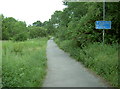
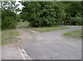
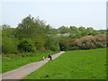
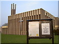
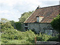
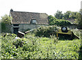
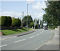
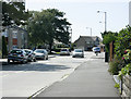
90 photos from this area
Area Information
Key information about the BS14 8LS including its size, population, and administrative classification.
- Area Type
- Postcode
- Area Size
- 1.1 hectares
- Population
- Not available
- Population Density
- Not available
House Prices in BS14 8LS
33
Properties
£175,469
Average Sold Price
£50,000
Lowest Price
£335,000
Highest Price
Showing 33 properties
| Address | Type | Beds | Baths | Last Sale Price | Last Sale Date | |
|---|---|---|---|---|---|---|
| 61 Lacey Road, Stockwood, Bristol, BS14 8LS | Semi-detached | 3 | 1 | £258,500 | Jan 2024 | |
| 47 Lacey Road, Stockwood, Bristol, BS14 8LS | Retail | 3 | - | £335,000 | Feb 2022 | |
| 64 Lacey Road, Stockwood, Bristol, BS14 8LS | Semi-detached | 3 | 1 | £269,000 | Sep 2019 | |
| 59 Lacey Road, Stockwood, Bristol, BS14 8LS | house | 3 | 2 | £232,500 | Mar 2016 | |
| 56 Lacey Road, Stockwood, Bristol, BS14 8LS | Semi-detached | 3 | 1 | £228,500 | Jul 2015 | |
| 71 Lacey Road, Stockwood, Bristol, BS14 8LS | house | 3 | - | £174,000 | Jul 2012 | |
| 60 Lacey Road, Stockwood, Bristol, BS14 8LS | house | 3 | - | £159,950 | Oct 2011 | |
| 69 Lacey Road, Stockwood, Bristol, BS14 8LS | house | - | - | £167,500 | Aug 2011 | |
| 51 Lacey Road, Stockwood, Bristol, BS14 8LS | house | - | - | £155,000 | Dec 2010 | |
| 45 Lacey Road, Stockwood, Bristol, BS14 8LS | Terraced | - | - | £150,000 | Aug 2009 |
Page 1 of 4
Energy Efficiency in BS14 8LS
Amenities
Schools
| Rank | School | Type | Entry gender | Ages |
|---|
Explore more schools in this area
Go to Schools tabDemographics
Household Size
Family (3-5 people)
most common
Accommodation Type
Houses
most common
Tenure
87
majority
Ethnic Group
White
most common
Religion
N/A
most common
Household Composition
N/A
most common
Age
47
median
Adults (30-64 years)
most common
Household Deprivation
N/A
with no deprivation
NS-SEC
31
in Lower managerial occupations
Explore more demographic insights in this area
Go to Demographics tabPlanning
Planning Constraints
- Flood RiskPremium
- Ramsar Wetland SitesPremium
- Area of Outstanding Natural BeautyPremium
- Protected Nature ReservePremium
- Protected WoodlandPremium