Area Overview for BS13 7PW
Photos of BS13 7PW
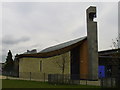
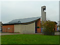
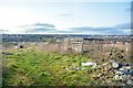
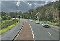
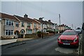
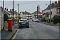

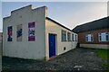
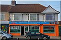
36 photos from this area
Area Information
Key information about the BS13 7PW including its size, population, and administrative classification.
- Area Type
- Postcode
- Area Size
- 4.3 hectares
- Population
- 2200
- Population Density
- 3131 people/km²
House Prices in BS13 7PW
21
Properties
£274,188
Average Sold Price
£172,500
Lowest Price
£345,000
Highest Price
Showing 21 properties
| Address | Type | Beds | Baths | Last Sale Price | Last Sale Date | |
|---|---|---|---|---|---|---|
| 46 Broadleas, Bishopsworth, Bristol, BS13 7PW | house | - | - | £300,000 | Jun 2025 | |
| 56 Broadleas, Bishopsworth, Bristol, BS13 7PW | Semi-detached | 3 | 1 | £345,000 | Sep 2020 | |
| 52 Broadleas, Bishopsworth, Bristol, BS13 7PW | Semi-detached | 3 | 1 | £270,000 | Nov 2019 | |
| 78 Broadleas, Bishopsworth, Bristol, BS13 7PW | Semi-detached | 3 | 1 | £295,000 | Oct 2018 | |
| 60 Broadleas, Bishopsworth, Bristol, BS13 7PW | Semi-detached | 3 | 1 | £233,000 | Aug 2018 | |
| 40 Broadleas, Bishopsworth, Bristol, BS13 7PW | Detached | 3 | 1 | £288,000 | May 2016 | |
| 66 Broadleas, Bishopsworth, Bristol, BS13 7PW | Bungalow | 2 | - | £290,000 | Apr 2016 | |
| 80 Broadleas, Bishopsworth, Bristol, BS13 7PW | house | - | - | £172,500 | Nov 2009 | |
| 42 Broadleas, Bishopsworth, Bristol, BS13 7PW | Semi-detached | 3 | 1 | - | - | |
| 54 Broadleas, Bishopsworth, Bristol, BS13 7PW | house | - | - | - | - |
Page 1 of 3
Energy Efficiency in BS13 7PW
Amenities
Schools
| Rank | School | Type | Entry gender | Ages |
|---|
Explore more schools in this area
Go to Schools tabDemographics
Household Size
Two person
most common
Accommodation Type
Houses
most common
Tenure
70
majority
Ethnic Group
White
most common
Religion
N/A
most common
Household Composition
N/A
most common
Age
47
median
Adults (30-64 years)
most common
Household Deprivation
N/A
with no deprivation
NS-SEC
37
in Lower managerial occupations
Explore more demographic insights in this area
Go to Demographics tabPlanning
Planning Constraints
- Flood RiskPremium
- Ramsar Wetland SitesPremium
- Area of Outstanding Natural BeautyPremium
- Protected Nature ReservePremium
- Protected WoodlandPremium