Area Overview for BS10 7QX
Photos of BS10 7QX
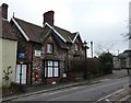
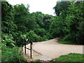
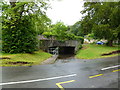
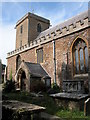
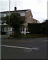
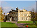
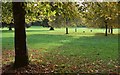
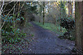
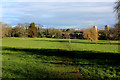
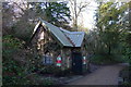
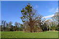
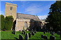
100 photos from this area
Area Information
Key information about the BS10 7QX including its size, population, and administrative classification.
- Area Type
- Postcode
- Area Size
- 6389 m²
- Population
- 1986
- Population Density
- 1352 people/km²
House Prices in BS10 7QX
10
Properties
£213,167
Average Sold Price
£75,000
Lowest Price
£340,000
Highest Price
Showing 10 properties
| Address | Type | Beds | Baths | Last Sale Price | Last Sale Date | |
|---|---|---|---|---|---|---|
| 22 Hallen Road, Henbury, Bristol, BS10 7QX | house | - | - | £340,000 | Aug 2017 | |
| 20 Hallen Road, Henbury, Bristol, BS10 7QX | Detached | 3 | 2 | £240,000 | Sep 2009 | |
| 4 Hallen Road, Henbury, Bristol, BS10 7QX | Detached | - | - | £285,000 | Jun 2006 | |
| The Old Court House, 2 Hallen Road, Henbury, Bristol, BS10 7QX | Detached | 3 | 3 | £179,000 | Dec 2001 | |
| 18 Hallen Road, Henbury, Bristol, BS10 7QX | Detached | - | - | £160,000 | Feb 1998 | |
| 24 Hallen Road, Henbury, Bristol, BS10 7QX | Semi-detached | 2 | 1 | £75,000 | Dec 1996 | |
| 2C Hallen Road, Henbury, Bristol, BS10 7QX | Flat | 2 | 2 | - | - | |
| 28 Hallen Road, Henbury, Bristol, BS10 7QX | Detached | - | - | - | - | |
| 2A Hallen Road, Henbury, Bristol, BS10 7QX | Flat | - | - | - | - | |
| 2B Hallen Road, Henbury, Bristol, BS10 7QX | Flat | - | - | - | - |
Energy Efficiency in BS10 7QX
Amenities
Schools
| Rank | School | Type | Entry gender | Ages |
|---|
Explore more schools in this area
Go to Schools tabDemographics
Household Size
Two person
most common
Accommodation Type
Houses
most common
Tenure
68
majority
Ethnic Group
White
most common
Religion
N/A
most common
Household Composition
N/A
most common
Age
47
median
Adults (30-64 years)
most common
Household Deprivation
N/A
with no deprivation
NS-SEC
38
in Lower managerial occupations
Explore more demographic insights in this area
Go to Demographics tabPlanning
Planning Constraints
- Flood RiskPremium
- Ramsar Wetland SitesPremium
- Area of Outstanding Natural BeautyPremium
- Protected Nature ReservePremium
- Protected WoodlandPremium