Area Overview for BS10 7NX
Photos of BS10 7NX
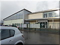
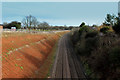
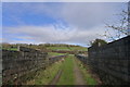
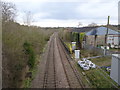
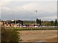
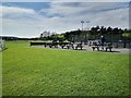
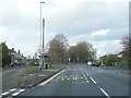
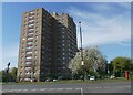
38 photos from this area
Area Information
Key information about the BS10 7NX including its size, population, and administrative classification.
- Area Type
- Postcode
- Area Size
- 1.0 hectares
- Population
- 1968
- Population Density
- 4688 people/km²
House Prices in BS10 7NX
22
Properties
£157,588
Average Sold Price
£60,000
Lowest Price
£330,000
Highest Price
Showing 22 properties
| Address | Type | Beds | Baths | Last Sale Price | Last Sale Date | |
|---|---|---|---|---|---|---|
| 28 Marmion Crescent, Henbury, Bristol, BS10 7NX | Terraced | 3 | 1 | £297,000 | Oct 2024 | |
| 21 Marmion Crescent, Henbury, Bristol, BS10 7NX | Terraced | 3 | 1 | £330,000 | May 2023 | |
| 20 Marmion Crescent, Henbury, Bristol, BS10 7NX | house | 3 | 1 | £272,000 | May 2022 | |
| 22 Marmion Crescent, Henbury, Bristol, BS10 7NX | Semi-detached | 2 | 1 | £173,000 | Dec 2015 | |
| 12 Marmion Crescent, Henbury, Bristol, BS10 7NX | Terraced | 3 | - | £145,550 | May 2014 | |
| 32 Marmion Crescent, Henbury, Bristol, BS10 7NX | Terraced | 2 | - | £125,000 | Dec 2013 | |
| 10 Marmion Crescent, Henbury, Bristol, BS10 7NX | Terraced | 2 | 1 | £128,000 | Oct 2009 | |
| 2 Marmion Crescent, Henbury, Bristol, BS10 7NX | Flat | - | - | £60,000 | Jun 2008 | |
| 30 Marmion Crescent, Henbury, Bristol, BS10 7NX | Terraced | 2 | 1 | £119,000 | May 2006 | |
| 16 Marmion Crescent, Henbury, Bristol, BS10 7NX | Terraced | - | - | £107,000 | Aug 2003 |
Page 1 of 3
Energy Efficiency in BS10 7NX
Amenities
Schools
| Rank | School | Type | Entry gender | Ages |
|---|
Explore more schools in this area
Go to Schools tabDemographics
Household Size
Family (3-5 people)
most common
Accommodation Type
Houses
most common
Tenure
43
majority
Ethnic Group
White
most common
Religion
N/A
most common
Household Composition
N/A
most common
Age
47
median
Adults (30-64 years)
most common
Household Deprivation
N/A
with no deprivation
NS-SEC
21
in Lower managerial occupations
Explore more demographic insights in this area
Go to Demographics tabPlanning
Planning Constraints
- Flood RiskPremium
- Ramsar Wetland SitesPremium
- Area of Outstanding Natural BeautyPremium
- Protected Nature ReservePremium
- Protected WoodlandPremium